Lower Morava Valley
Map
Gallery

Facts and practical information
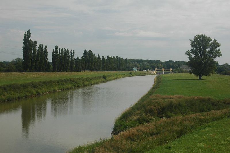
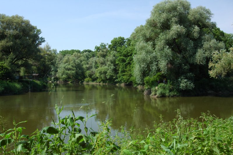
The Lower Morava Valley is a geomorphological formation in the Czech Republic and Slovakia. It is formed by the depression in the Western Carpathians in the west and Bílé Karpaty and Chvojnice Hills in the east. The drainage to the Morava River of the Danube basin runs finally to the Black Sea. ()
Local name: Dolnomoravský úval Area: 560.62 mi²Maximum elevation: 272310 ftCoordinates: 48°56'35"N, 17°19'46"E
Location
Jihomoravský
ContactAdd
Social media
Add
Day trips
Lower Morava Valley – popular in the area (distance from the attraction)
Nearby attractions include: Baťa Canal, Strážnice, Veselí nad Moravou.


