Kostka cukru 1843, Dačice

Gallery (1)
Map
Map
Facts and practical information
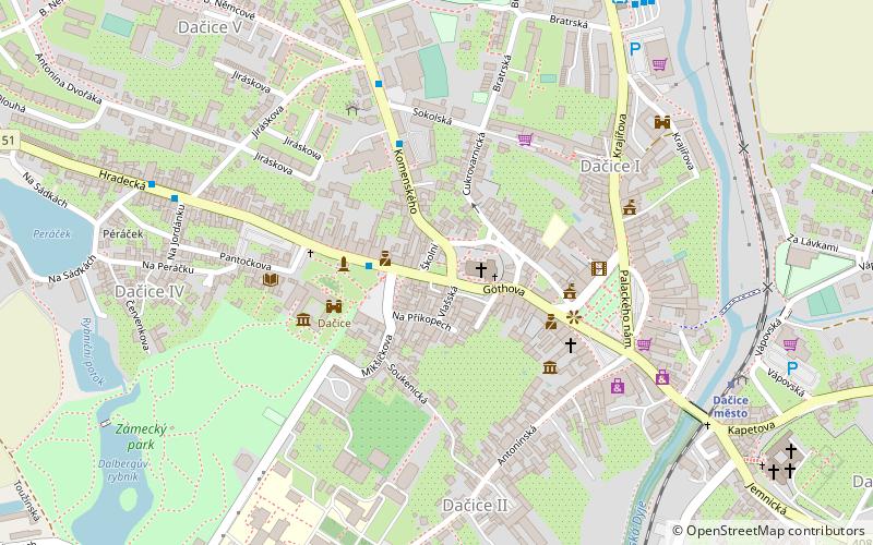
Kostka cukru 1843 (address: Havlíčkovo náměstí 1) is a place located in Dačice (Jihočeský region) and belongs to the category of memorial.
It is situated at an altitude of 1585 feet, and its geographical coordinates are 49°4'48"N latitude and 15°26'2"E longitude.
Among other places and attractions worth visiting in the area are: Český Rudolec (village, 128 min walk).
Coordinates: 49°4'48"N, 15°26'2"E
Address
Havlíčkovo náměstí 1Dačice
ContactAdd
Social media
Add
Day trips
Kostka cukru 1843 – popular in the area (distance from the attraction)
Nearby attractions include: Český Rudolec.
