Podolí, Prague
Map
Map

Facts and practical information
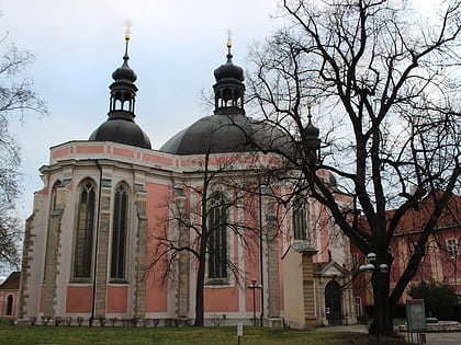
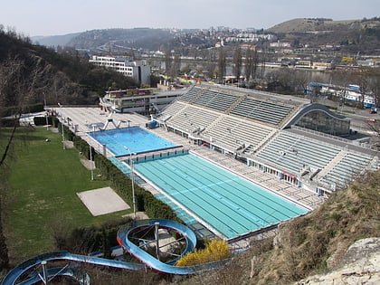
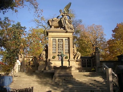
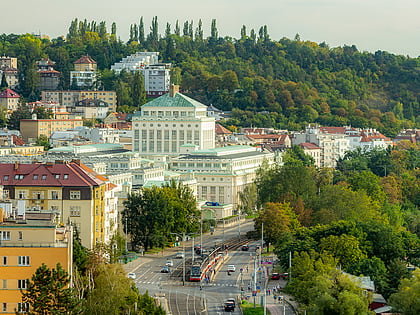
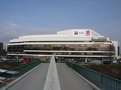
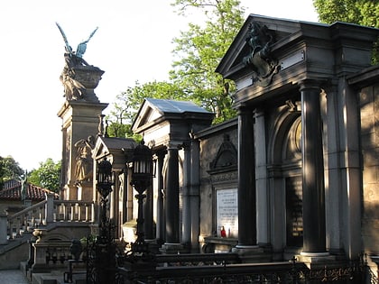
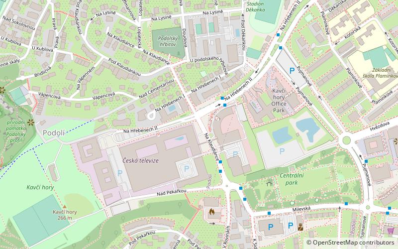
Podolí is a district in Prague located south of the city centre, on the right riverbank. It borders Vyšehrad in the north, Pankrác in the east and Braník in the south. The river Vltava separates Podolí from Smíchov and Hlubočepy on the other riverbank. ()
Address
Praha 4Prague
ContactAdd
Social media
Add
Day trips
Podolí – popular in the area (distance from the attraction)
Nearby attractions include: Vyšehrad, Basilica of St. Peter and St. Paul, Ďolíček, Karel IV..
Frequently Asked Questions (FAQ)
Which popular attractions are close to Podolí?
Nearby attractions include City Tower, Prague (10 min walk), V Tower, Prague (11 min walk), Podolí Waterworks, Prague (15 min walk), Pankrác, Prague (15 min walk).
How to get to Podolí by public transport?
The nearest stations to Podolí:
Bus
Metro
Tram
Ferry
Train
Bus
- Na Hřebenech • Lines: 134, 904 (2 min walk)
- Kavčí hory • Lines: 134, 188, 904 (4 min walk)
Metro
- Pražského povstání • Lines: C (13 min walk)
- Pankrác • Lines: C (14 min walk)
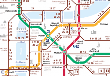
Tram
- Kublov • Lines: 17, 2, 21, 3, 92 (13 min walk)
- Pražského povstání • Lines: 18, 19, 93 (13 min walk)
Ferry
- Veslařský ostrov • Lines: P3 (15 min walk)
- Lihovar • Lines: P3 (20 min walk)
Train
- Praha-Smíchov (28 min walk)
- Praha-Žvahov (31 min walk)

 Metro / Trams


