Luční hora, Krkonoše National Park
Map
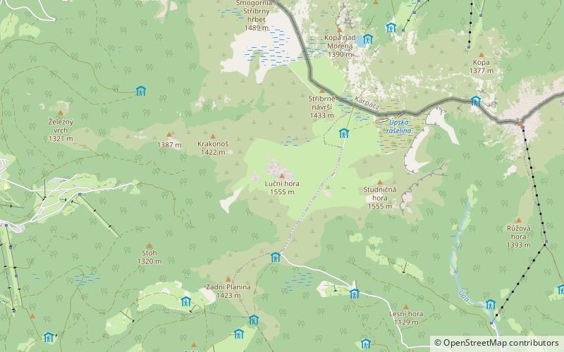
Map

Facts and practical information
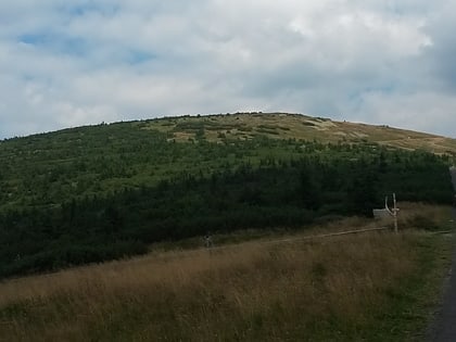
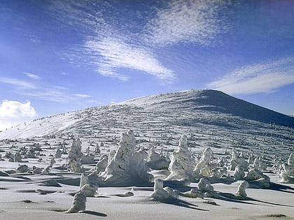
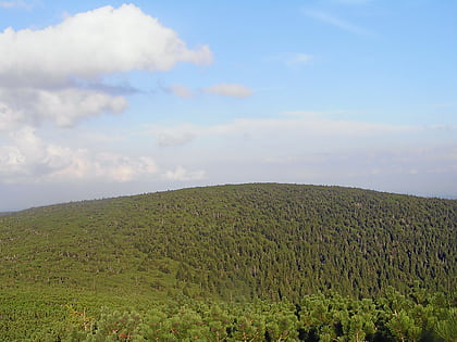
Luční hora, is the cumulonimbus mountain located in the Krkonoše mountains about 5.5 km northwest of the town Pec pod Sněžkou and 4 km east of the town Špindlerův Mlýn to which cadastral belongs. It is the second highest mountain in the Czech Republic and the highest peak of the Bohemian ridge. The mountain peak is a plain, flat and relatively large. To the north and west side of the mountain occurs avalanche slopes. The mountain is located in Zone I of Krkonoše National Park. ()
Address
Krkonoše National Park
ContactAdd
Social media
Add
Day trips
Luční hora – popular in the area (distance from the attraction)
Nearby attractions include: Polish–Czech Friendship Trail, Wielki Szyszak, Smogornia, Mały Szyszak.
Frequently Asked Questions (FAQ)
Which popular attractions are close to Luční hora?
Nearby attractions include Meadow Chalet, Krkonoše National Park (21 min walk), Výrovka, Krkonoše National Park (23 min walk).
