Šibeník, Most
Map

Map

Facts and practical information
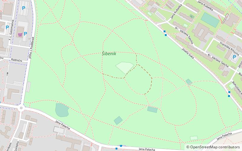
Šibenik is a hill with a forest park setting and an altitude of 320 metres, located in the town of Most in the Ústí nad Labem Region. Its western side, closely adjacent to the town centre, is defined by Jiřího z Poděbrad Street. The northeastern part is bounded by Josef Suk Street and the northern part of the park ends at Moskevská Street. In the south and south-east it is separated by Jana Palacha Street from the housing estate popularly known as Vídrholec.
Elevation: 1030 ft a.s.l.Coordinates: 50°30'5"N, 13°39'4"E
Address
Most
ContactAdd
Social media
Add
Day trips
Šibeník – popular in the area (distance from the attraction)
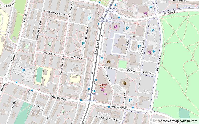
Nearby attractions include: Church of the Assumption of the Virgin Mary, Oblastní muzeum, Městské divadlo v Mostě, Městská knihovna Most.
Frequently Asked Questions (FAQ)
Which popular attractions are close to Šibeník?
Nearby attractions include Městská knihovna Most, Most (9 min walk), Městské divadlo v Mostě, Most (11 min walk), Most District, Most (14 min walk).
How to get to Šibeník by public transport?
The nearest stations to Šibeník:
Bus
Tram
Train
Bus
- Sukova, blok 508 • Lines: 20, 22, 5 (5 min walk)
- Speciální škola • Lines: 17 (6 min walk)
Tram
- 1. Náměstí (14 min walk)
- Obchodní dům Prior (15 min walk)
Train
- Most (19 min walk)


