Červená hora
Map

Map

Facts and practical information
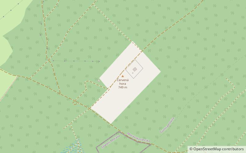
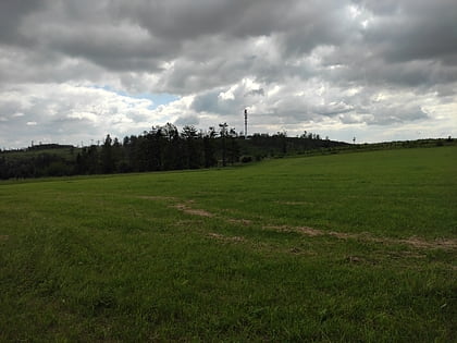
Červená hora is a flat geological formation in the Nízký Jeseník mountain range in Moravia, the Czech Republic. With 749 metres above sea level it is the highest formation of the Domašov Highlands, which are a part of the Nízký Jeseník, and the highest formation in the Opava District. A hydrometeorological station and a station of the European Fireball Network at the same time is located here. ()
Location
Olomoucký
ContactAdd
Social media
Add
