Mušov
#173 among destinations in Czech Republic


Facts and practical information
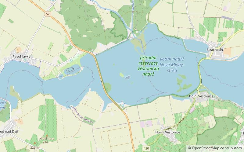
Mušov is a cadastral area and a defunct village belonging to the village of Pasohlávky, South Moravia, Czech Republic. It covers an area of 1420.6 ha. ()
JihomoravskýCzech Republic
Mušov – popular in the area (distance from the attraction)
Nearby attractions include: Dolní Věstonice, Děvín, Nové Mlýny reservoirs, Děvičky.
 Prehistoric site
Dolní Věstonice, Pálava Protected Landscape Area
64 min walk • Dolní Věstonice is an Upper Paleolithic archaeological site near the village of Dolní Věstonice in the South Moravian Region of the Czech Republic, on the base of Děvín Mountain 550 metres. It dates to approximately 26,000 BP, as supported by radiocarbon dating.
 Nature, Natural attraction, Mountain
Děvín, Pálava Protected Landscape Area
75 min walk • Děvín is a double peak mountain in the Pavlov municipality in the South Moravian Region of the Czech Republic. With an elevation of 550 metres, it is the highest mountain of the Pavlov Hills within the Mikulov Highlands, and of the Pálava Protected Landscape Area.
 Nature, Natural attraction, Lake
Nové Mlýny reservoirs
19 min walk • The Nové Mlýny reservoirs are three reservoirs behind the Nové Mlýny Dam on the Thaya River in the Czech Republic. The lower reservoir, 1,668 ha in area, is the Novomlýnská Reservoir, the middle reservoir, 1,031 ha, is the Věstonice Reservoir and the upper reservoir, 528 ha, is the Mušovská Reservoir.
 Forts and castles
Děvičky, Pavlov
80 min walk • Děvičky is a ruin of a Gothic castle dominating the northern edge of the Děvín massif ridge, the highest peak of the Pavlov Hills in South Moravia. It is located on a limestone rock rising to an altitude of 428 metres.
 48°52'39"N • 16°40'30"E
Archeopark Pavlov, Pavlov
93 min walk • Specialty museum, History museum, Museum
 Archaeological site
Roman fort
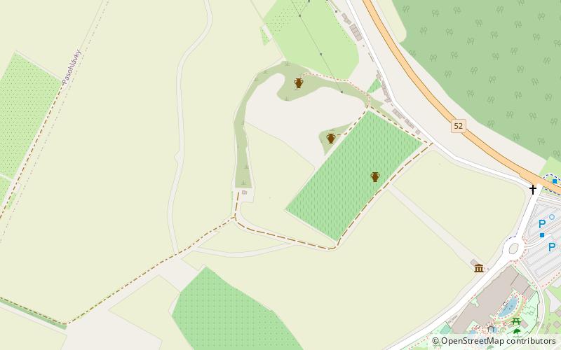
42 min walk • The Roman fort is an archaeological site located in Mušov, Czech Republic, of a Roman army camp on the Dyje-Svratka-Jihlava confluence. It was intended to become the capital of the proposed Marcomannia province.
 Nature, Natural attraction, Natural feature
Mikulov Highlands, Pálava Protected Landscape Area
71 min walk • The Mikulov Highlands is a mountain range in the South Moravian Region of the Czech Republic. The Highlands, together with the Waschberg Zone and Lower Austria Inselberg threshold, form the South-Moravian Carpathians.
 Park
ParkNPR Tabulová, Klentnice
103 min walk • Tabulová, Růžový vrch and Kočičí kámen is a cancelled national nature reserve No. 377 near the villages of Bavory and Klentnice in the district of Breclav. The area is managed by the Pálava Protected Landscape Area Administration.
 Nature, Natural attraction, Natural feature
South-Moravian Carpathians, Pálava Protected Landscape Area
74 min walk • The South-Moravian Carpathians, also called Austrian - South-Moravian Carpathians are a mountain range of the Outer Western Carpathians along the border of the Czech Republic and Austria.

 Park
ParkPR Turold, Pálava Protected Landscape Area
144 min walk • Turold is a nature reserve ev. no. 456, located in the Pálava Protected Landscape Area north of the town of Mikulov in the district of Breclav in the South Moravian Region. The area is managed by the AOPK ČR - Regional Workplace South Moravia...
