Schattenberg

Map
Facts and practical information
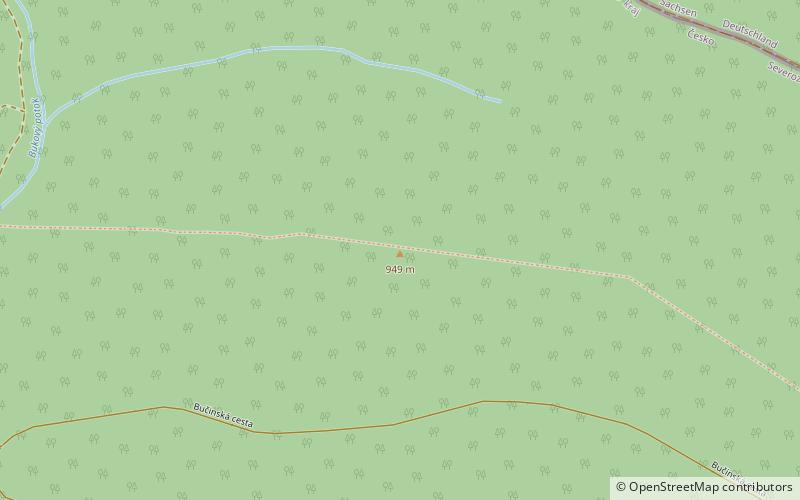
The Schattenberg is a wooded mountain southwest of Jugel and northeast of Hirschenstand in the western Bohemian Ore Mountains, which is 950 metres high. East of the mountain lies the 980-metre-high Scheffelsberg and to the north is the 973-metre-high Buchschachtelberg. These three mountains form the main crest in this part of the Ore Mountains. ()
Coordinates: 50°24'11"N, 12°41'2"E
Location
Karlovarský
ContactAdd
Social media
Add
Day trips
Schattenberg – popular in the area (distance from the attraction)
Nearby attractions include: Blatenský vrch, Vlčí jámy, na bile stope, Nejdek.


