Háj
Map

Map

Facts and practical information
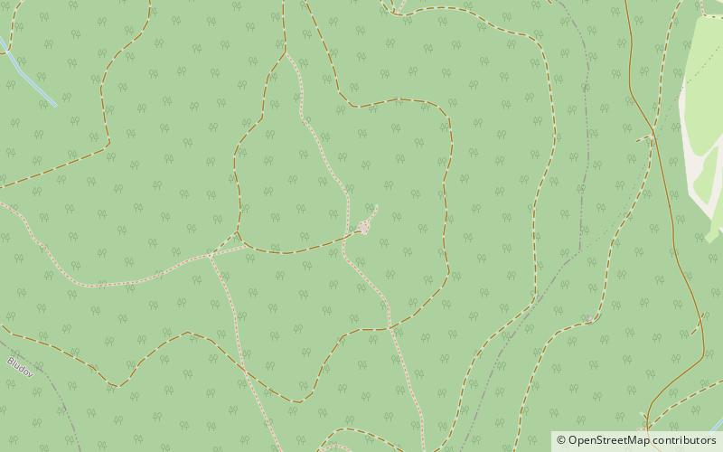
Háj is an observation tower on the top of Háj hill in Olomouc Region of the Czech Republic, about 3 kilometres northwest from Šumperk. Its height is 29 meters and it has one viewing platform. Foot tower altitude is 631 meters above sea level. ()
Coordinates: 49°58'15"N, 16°56'2"E
Day trips
Háj – popular in the area (distance from the attraction)
Nearby attractions include: Bludovský zámek, Kostel Božího těla, Ruční papírna Velké Losiny, Vlastivědné muzeum v Šumperku.


