Nusle Bridge, Prague
Map
Gallery
Facts and practical information
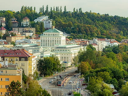
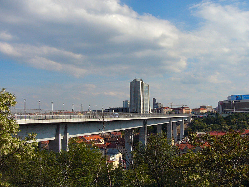
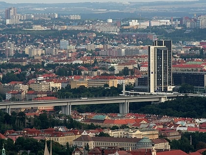
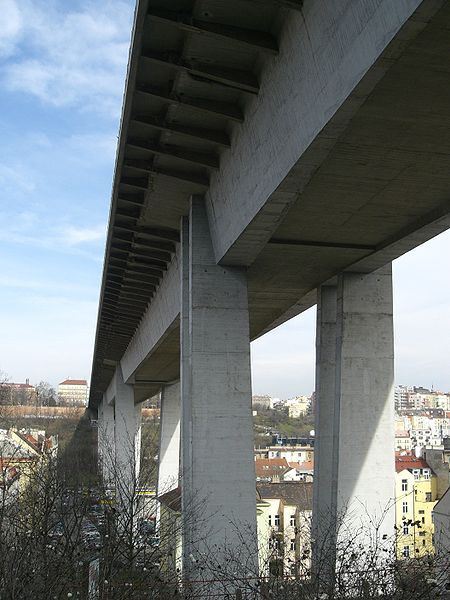
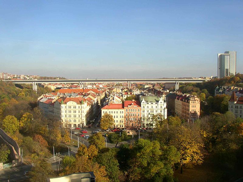
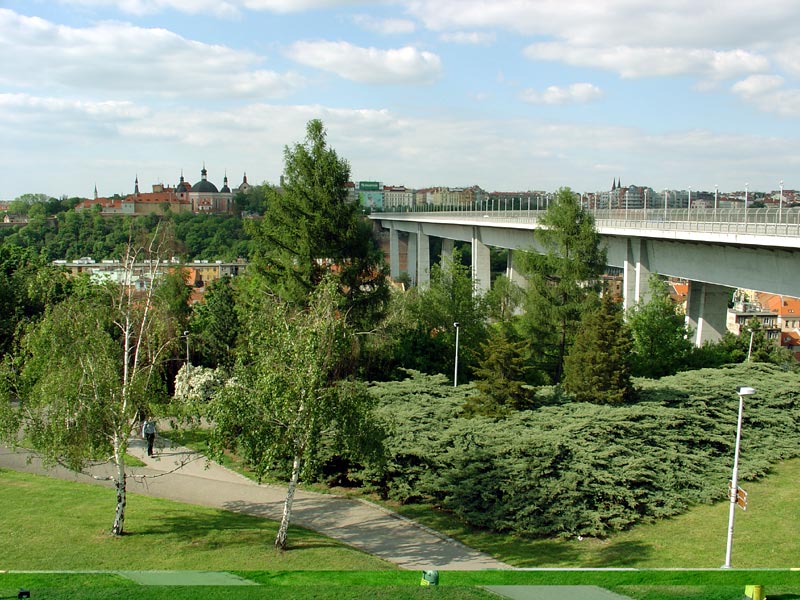
Nusle Bridge is a prestressed concrete viaduct in Prague, Czech Republic. It connects Prague 2 and Prague 4, across a valley which forms part of the Nusle district. The bridge is one of the longest in the country and carries two footpaths, a multi-lane road and part of the city's rapid transit network. ()
Local name: Nuselský most Opened: 22 February 1973 (53 years ago)Length: 1591 ftWidth: 87 ftCoordinates: 50°3'56"N, 14°25'49"E
Address
Nuselský mostPraha 2 (Nové Město)Prague 120 00
ContactAdd
Social media
Add
Day trips
Nusle Bridge – popular in the area (distance from the attraction)
Nearby attractions include: Vyšehrad, Basilica of St. Peter and St. Paul, Karel IV., Slavín.
Frequently Asked Questions (FAQ)
Which popular attractions are close to Nusle Bridge?
Nearby attractions include Karel IV., Prague (7 min walk), Czech Police Museum, Prague (7 min walk), Divadlo na Fidlovačce, Prague (7 min walk), Prague Congress Centre, Prague (7 min walk).
How to get to Nusle Bridge by public transport?
The nearest stations to Nusle Bridge:
Tram
Metro
Bus
Ferry
Train
Tram
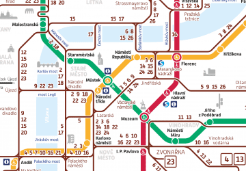
- Svatoplukova • Lines: 14, 18, 24, 7, 93, 95 (2 min walk)
- Ostrčilovo náměstí • Lines: 14, 18, 24, 7, 93, 95 (7 min walk)
Metro
- Vyšehrad • Lines: C (5 min walk)
- I. P. Pavlova • Lines: C (16 min walk)
Bus
- Dětská nemocnice Karlov • Lines: 148 (10 min walk)
- Palouček • Lines: 193 (11 min walk)
Ferry
- Výtoň (19 min walk)
- Císařská louka • Lines: P5 (20 min walk)
Train
- Praha-Vršovice (20 min walk)
- Praha-Smíchov (27 min walk)


 Metro / Trams

