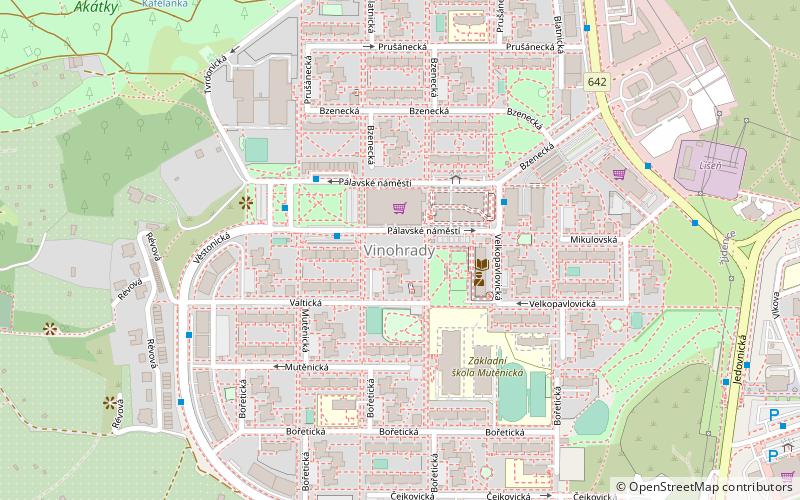
Brno-Vinohrady, Brno

Map
Facts and practical information
Brno-Vinohrady is a municipal district on the eastern side of Brno in the Czech Republic. The autonomous district was established on 24 November 1990. As of 2011 the population was 13,361. Vinohrady is situated in the vineyard track V Hlavách. ()
Address
ŽideniceBrno
ContactAdd
Social media
Add
Day trips
Brno-Vinohrady – popular in the area (distance from the attraction)
Nearby attractions include: Stránská skála, Koupaliště Juliánov, ZETOR Gallery, Jewish Cemetery.
Frequently Asked Questions (FAQ)
How to get to Brno-Vinohrady by public transport?
The nearest stations to Brno-Vinohrady:
Trolleybus
Tram
Bus
Train
Trolleybus
- Pálavské náměstí • Lines: 25, 26 (3 min walk)
- Mutěnická • Lines: 25, 26 (7 min walk)
Tram
- Novolíšeňská • Lines: 8 (14 min walk)
- Líšeňská • Lines: 8 (15 min walk)
Bus
- Gajdošova • Lines: 84 (20 min walk)
- Židenice, kasárna • Lines: 84 (21 min walk)
Train
- Brno-Židenice (26 min walk)


