Prague 17, Prague
Map

Map

Facts and practical information
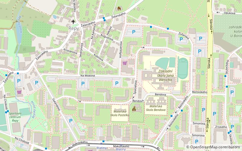
Prague 17 is a municipal district in Prague. It is located in the western part of the city. It is formed by one cadastre Řepy. As of 2008, there were 25,365 inhabitants living in Prague 17. ()
Day trips
Prague 17 – popular in the area (distance from the attraction)
Nearby attractions include: Letohrádek Hvězda, Obora Hvězda, Řepy, Ruzyně.
Frequently Asked Questions (FAQ)
Which popular attractions are close to Prague 17?
Nearby attractions include Řepy, Prague (4 min walk), Zličín, Prague (20 min walk).
How to get to Prague 17 by public transport?
The nearest stations to Prague 17:
Bus
Tram
Train
Metro
Bus
- Ke Kaménce • Lines: 164 (5 min walk)
- Za Slánskou silnicí • Lines: 164, 225 (5 min walk)
Tram
- Blatiny • Lines: 10, 16, 9, 98, 99 (6 min walk)
- Sídliště Řepy • Lines: 10, 16, 9, 98, 99 (9 min walk)
Train
- Praha-Zličín (11 min walk)
- Praha-Ruzyně (29 min walk)
Metro
- Zličín • Lines: B (31 min walk)

 Metro / Trams


