Upemba Depression, Upemba National Park
Map

Map

Facts and practical information
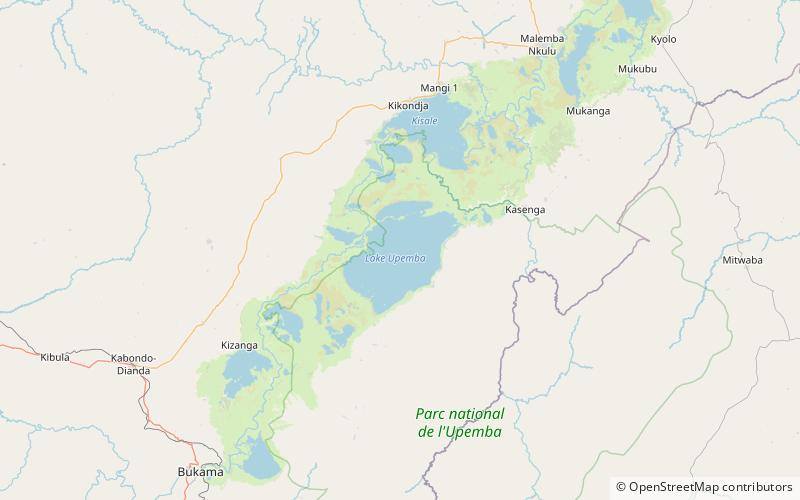
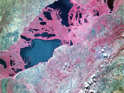
The Upemba Depression is a large marshy bowl area in the Democratic Republic of the Congo comprising some fifty lakes, including 22 of relatively large size including Lake Upemba and Lake Kisale. In an earlier era, the area was probably occupied by one large lake. ()
Local name: Dépression de Kamalondo Area: 2415.45 mi²Length: 155.34 miWidth: 24.85 miElevation: 1854 ft a.s.l.Coordinates: 8°36'0"S, 26°24'0"E
Address
Upemba National Park
ContactAdd
Social media
Add
Day trips
Upemba Depression – popular in the area (distance from the attraction)
Nearby attractions include: Lake Upemba.

