
Mbandaka Travel Guide
| Due to the unstable situation and very high level of general risk, traveling to Democratic Republic of the Congo may be dangerous. Read more |
Facts and practical information
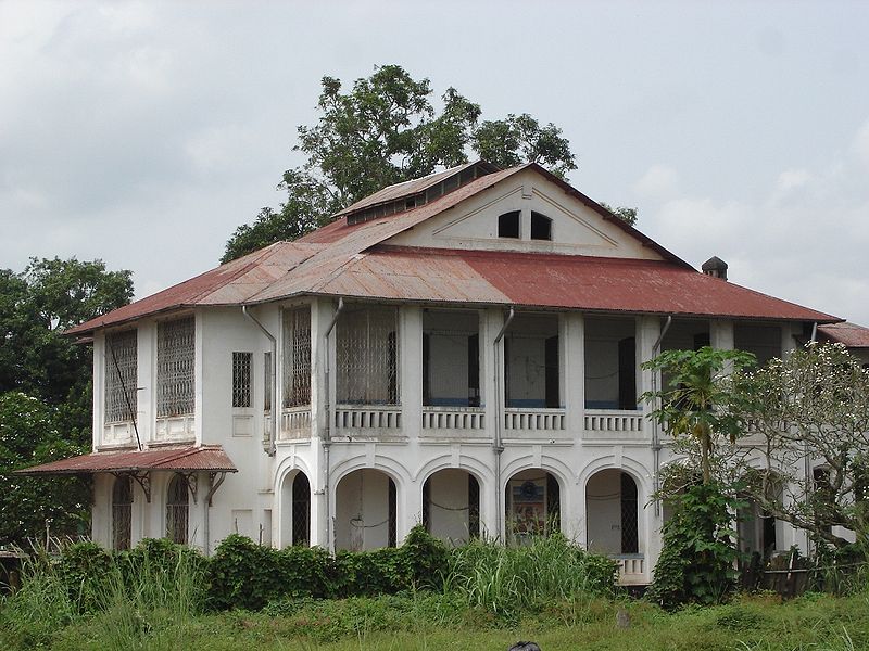
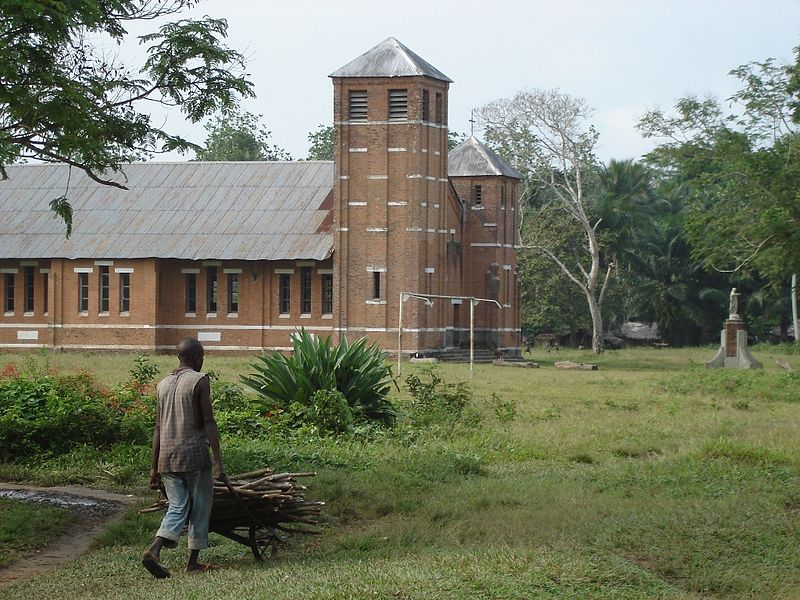
Located in the Équateur region of the Democratic Republic of the Congo, Mbandaka is a vibrant city that offers a unique and immersive travel experience. Situated on the banks of the Congo River, the city is a melting pot of cultures and traditions, making it an ideal destination for travelers seeking an authentic African adventure.
One of the must-see attractions in Mbandaka is the Bokondji Bois de Singes Sanctuary, a nature reserve that is home to a variety of wildlife, including monkeys, birds, and other indigenous species. Visitors can explore the sanctuary on guided tours, taking in the lush vegetation and pristine natural beauty of the area.
For history enthusiasts, Mbandaka offers the opportunity to learn about the region's colonial past at the Henry Morton Stanley Livingstone Museum. Named after the famous explorer, the museum showcases artifacts and exhibits that shed light on the impact of European colonization on the Congo.
In addition to its cultural and historical attractions, Mbandaka also boasts a lively market scene, where visitors can browse a wide array of locally made crafts, artwork, and traditional Congolese textiles. The bustling markets are a great place to interact with locals and gain insight into everyday life in Mbandaka.
For those seeking adventure, the Congo River provides ample opportunities for activities such as kayaking, fishing, and boat tours. The river is a lifeline for the city, and exploring its waters offers a unique perspective on Mbandaka and its surrounding natural beauty.
Équateur
Mbandaka Attractions - What to See and Explore
Mbandaka offers many attractions and places to visit. Here are the most important ones: Wangata. Below you will find a complete list of places worth visiting.
Best Time To Visit Mbandaka
Learn when is the best time to travel to Mbandaka weather-wise and what to expect in each season.