Mbuji-Mayi Travel Guide
| Due to the unstable situation and very high level of general risk, traveling to Democratic Republic of the Congo may be dangerous. Read more |
Facts and practical information
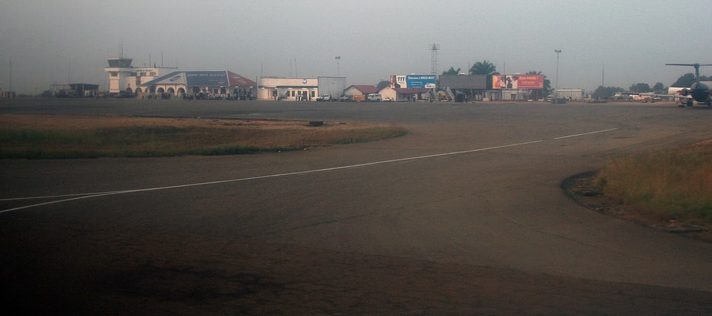
Mbuji-Mayi, located in the Kasaï-Oriental region of the Democratic Republic of the Congo, is known for its vibrant culture and rich history. The city is home to a diverse population, and visitors will find a variety of cultural experiences to explore.
One of the most striking features of Mbuji-Mayi is its bustling markets, where visitors can immerse themselves in the sights, sounds, and smells of Congolese daily life. The city is famous for its diamond trade, and visitors can explore the bustling diamond markets and learn about the industry that has shaped the city's economy.
In addition to its vibrant markets, Mbuji-Mayi offers visitors the opportunity to explore the natural beauty of the region. The city is surrounded by picturesque countryside, and visitors can take in the breathtaking landscapes as they explore the surrounding area.
For those interested in history and culture, Mbuji-Mayi offers a number of attractions that provide insight into the city's past. The city is home to a number of museums and historical sites, where visitors can learn about the region's rich cultural heritage.
Mbuji-Mayi is also known for its lively music and dance scene, and visitors can experience the rhythm and energy of Congolese music at local clubs and performance venues. The city's nightlife offers a unique opportunity to immerse oneself in the local culture and connect with the city's vibrant community.
Kasaï-Oriental
Mbuji-Mayi Attractions - What to See and Explore
Mbuji-Mayi offers many attractions and places to visit. Here are the most important ones: Tshilenge District. Below you will find a complete list of places worth visiting.
Best Time To Visit Mbuji-Mayi
Learn when is the best time to travel to Mbuji-Mayi weather-wise and what to expect in each season.