Sindssygehospitalet Teglgårdsparken, Middelfart

Gallery (1)
Map
Map
Facts and practical information
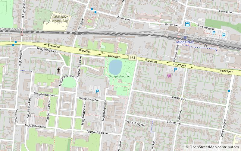
Sindssygehospitalet Teglgårdsparken is a place located in Middelfart (Syddanmark region) and belongs to the category of relax in park, park.
It is situated at an altitude of 36 feet, and its geographical coordinates are 55°30'0"N latitude and 9°43'47"E longitude.
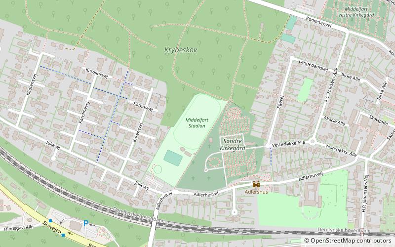
Among other places and attractions worth visiting in the area are: Middelfart Bibliotek (library, 12 min walk), Kulturøen (entertainment, 12 min walk), Middelfart Stadion (sport venue, 17 min walk).
Elevation: 36 ft a.s.l.Coordinates: 55°30'0"N, 9°43'47"E
Address
Middelfart
ContactAdd
Social media
Add
Day trips


Frequently Asked Questions (FAQ)
Which popular attractions are close to Sindssygehospitalet Teglgårdsparken?
Nearby attractions include Middelfart Bibliotek, Middelfart (12 min walk), Kulturøen, Middelfart (12 min walk).