Nikolaj Plads, Copenhagen
Map
Gallery
Facts and practical information
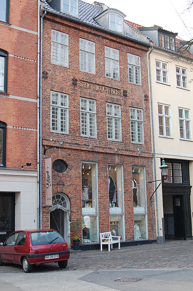
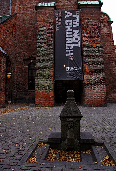
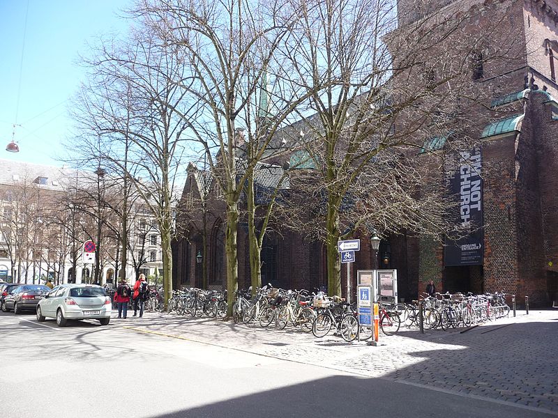
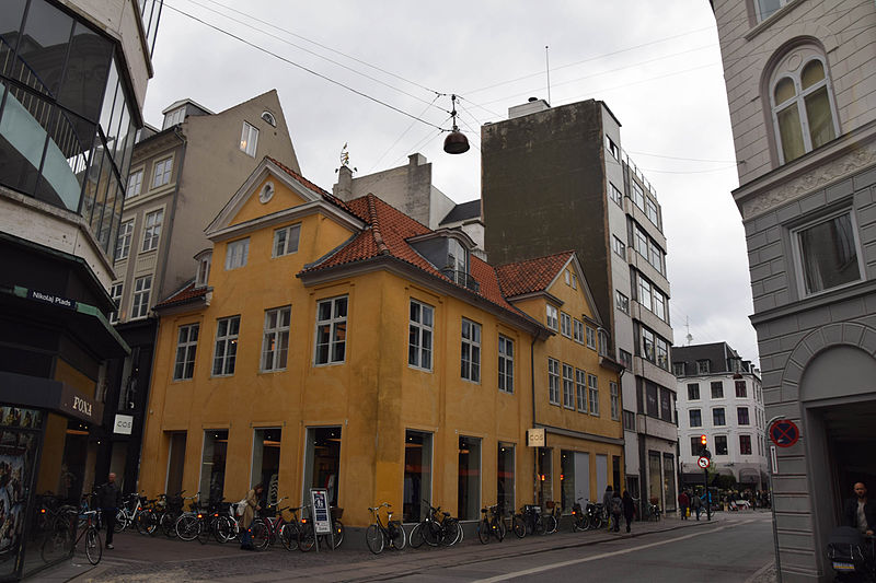
Nikolaj Plads is a public square located at the foot of the former St Nicolas' Church, just off Strøget, in the Old Town of Copenhagen, Denmark. Most of the buildings that line the square date from the rebuilding of the surrounding neighbourhood in the years after the Copenhagen Fire of 1795. The square is a quiet alternative to the much busier squares Amagertorv and Højbro Plads. The former church houses an exhibition space and a restaurant with outdoor service and a small playground is also located at the site. ()
Coordinates: 55°40'44"N, 12°34'51"E
Day trips
Nikolaj Plads – popular in the area (distance from the attraction)
Nearby attractions include: Strøget, Købmagergade, Jazzhus Montmartre, Karel van Mander House.
Frequently Asked Questions (FAQ)
Which popular attractions are close to Nikolaj Plads?
Nearby attractions include Lille Kirkestræde 1, Copenhagen (2 min walk), Kunsthallen Nikolaj, Copenhagen (2 min walk), Stork Fountain, Copenhagen (2 min walk), Højbro Plads 13, Copenhagen (2 min walk).
How to get to Nikolaj Plads by public transport?
The nearest stations to Nikolaj Plads:
Metro
Bus
Ferry
Train
Light rail
Metro
- Gammel Strand • Lines: M3, M4 (4 min walk)
- Kongens Nytorv • Lines: M1, M2, M3, M4 (5 min walk)
Bus
- Gammel Strand St., Christiansborg • Lines: 23, 2A (4 min walk)
- Holmens Kirke • Lines: 23 (5 min walk)
Ferry
- Knippelsbro • Lines: 991, 992 (11 min walk)
- Det Kongelige Bibliotek • Lines: 991, 992 (12 min walk)
Train
- Nørreport (12 min walk)
- Copenhagen Central Station (20 min walk)
Light rail
- Nørreport • Lines: A, B, Bx, C, E, H (12 min walk)
- Vesterport • Lines: A, B, Bx, C, E, H (19 min walk)



 Metro
Metro


