Strømgade, Hjørring

Gallery (1)
Map
Map
Facts and practical information
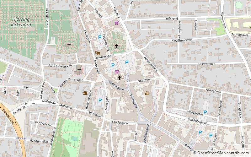
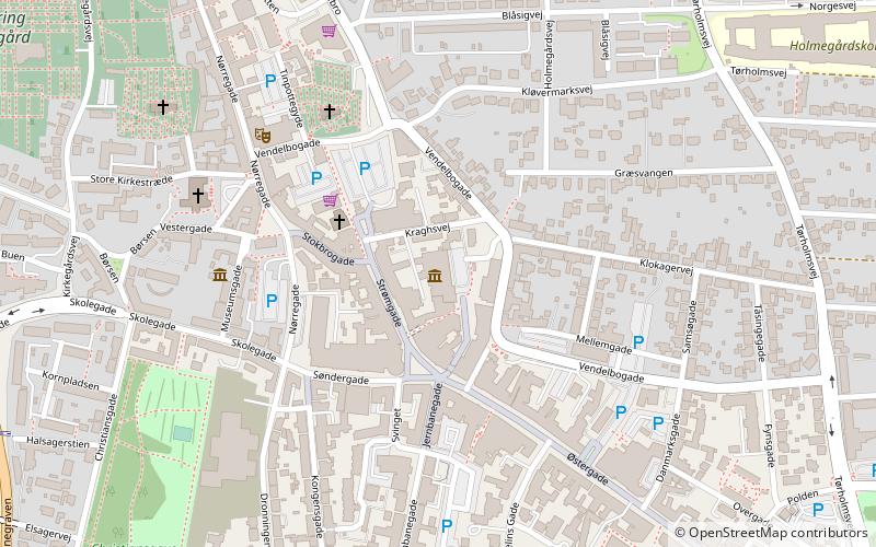
Strømgade (address: Strømgade 9) is a place located in Hjørring (Nordjylland region) and belongs to the category of square.
It is situated at an altitude of 144 feet, and its geographical coordinates are 57°27'41"N latitude and 9°59'8"E longitude.
Among other places and attractions worth visiting in the area are: Hjørring Baptistkirke (church, 1 min walk), Saint Olaf's Church (church, 1 min walk), Vendsyssel Kunstmuseum (museum, 2 min walk).
Coordinates: 57°27'41"N, 9°59'8"E
Address
Strømgade 9Hjørring
ContactAdd
Social media
Add
Day trips


Frequently Asked Questions (FAQ)
Which popular attractions are close to Strømgade?
Nearby attractions include Hjørring Baptistkirke, Hjørring (1 min walk), Saint Olaf's Church, Hjørring (1 min walk), Vendsyssel Kunstmuseum, Hjørring (2 min walk), Vendsyssel Historiske Museum, Hjørring (3 min walk).