Stormbro, Copenhagen
Map

Map

Facts and practical information
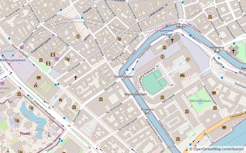
Stormbro is a small arch bridge in Copenhagen, Denmark, marking the transition between Slotsholmen Canal and Frederiksholm Canal, two sections of the canal which separates from the rest of the city centre. It links Stormgade with Vindebrogade on Slotsholmen. ()
Opened: 1918 (108 years ago)Coordinates: 55°40'32"N, 12°34'33"E
Address
Indre By (Kalvebodernes)Copenhagen
ContactAdd
Social media
Add
Day trips
Stormbro – popular in the area (distance from the attraction)
Nearby attractions include: Tivoli, Strøget, Købmagergade, Glass Hall.
Frequently Asked Questions (FAQ)
Which popular attractions are close to Stormbro?
Nearby attractions include Tryggevælde Runestone, Copenhagen (2 min walk), Asferg Runestone, Copenhagen (2 min walk), Kingittorsuaq Runestone, Copenhagen (2 min walk), Magstræde, Copenhagen (2 min walk).
How to get to Stormbro by public transport?
The nearest stations to Stormbro:
Bus
Metro
Ferry
Train
Light rail
Bus
- Stormbroen, Nationalmuseet • Lines: 23, 2A (1 min walk)
- Gammel Strand St., Christiansborg • Lines: 23, 2A (5 min walk)
Metro
- Gammel Strand • Lines: M3, M4 (5 min walk)
- Rådhuspladsen • Lines: M3, M4 (8 min walk)
Ferry
- Det Kongelige Bibliotek • Lines: 991, 992 (8 min walk)
- Knippelsbro • Lines: 991, 992 (12 min walk)
Train
- Copenhagen Central Station (12 min walk)
- Nørreport (15 min walk)
Light rail
- Copenhagen Central Station • Lines: A, B, Bx, C, E, H (13 min walk)
- Vesterport • Lines: A, B, Bx, C, E, H (14 min walk)

 Metro
Metro


