Skjoldnæs Fyr, Ærø

Gallery (1)
Map
Map
Facts and practical information
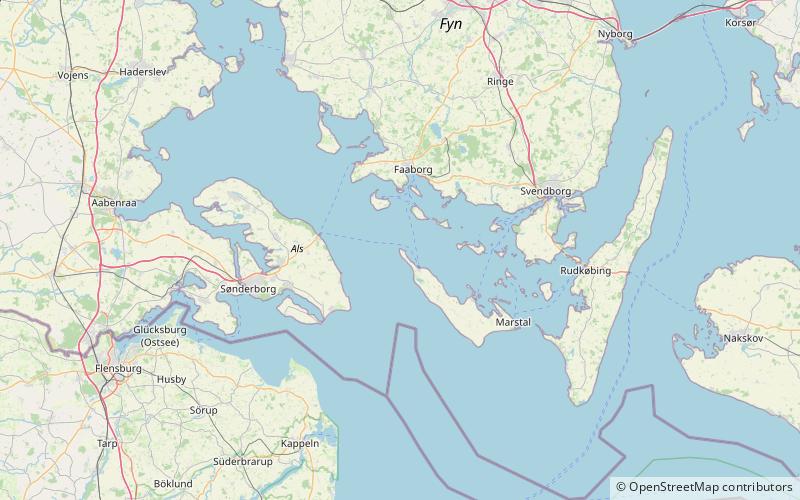
Skjoldnæs Fyr (address: Skjoldnæsvej 8) is a place located in Ærø (Syddanmark region) and belongs to the category of lighthouse.
It is situated at an altitude of 43 feet, and its geographical coordinates are 54°58'9"N latitude and 10°12'24"E longitude.
Among other places and attractions worth visiting in the area are: Søby Kirke (church, 74 min walk), Avernakø (island, 98 min walk), Lyø (island, 141 min walk).
Coordinates: 54°58'9"N, 10°12'24"E
Address
Skjoldnæsvej 8Ærø
ContactAdd
Social media
Add
Day trips


