Øhavsmuseet, Fåborg

Gallery (1)
Map
Map
Facts and practical information
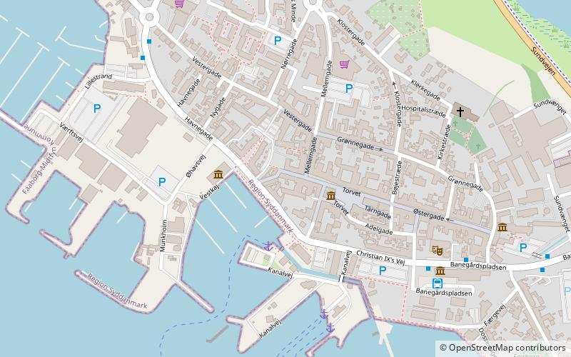
Øhavsmuseet (address: Banegårdspladsen 2B) is a place located in Fåborg (Syddanmark region) and belongs to the category of museum.
It is situated at an altitude of 13 feet, and its geographical coordinates are 55°5'43"N latitude and 10°14'26"E longitude.
Among other places and attractions worth visiting in the area are: Sydfyenske Veteranjernbane (museum, 11 min walk), Hvedholm Castle (forts and castles, 53 min walk), Bjørnø (island, 58 min walk).
Coordinates: 55°5'43"N, 10°14'26"E
Day trips


