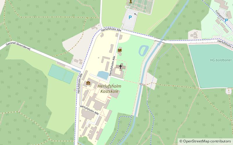
Skovkloster Abbey, Næstved

Map
Facts and practical information
St. Peders Kloster, later called Skovkloster, was an important early Benedictine house at Næstved, Denmark, active in 1135-1559. ()
Coordinates: 55°14'45"N, 11°44'55"E
Address
Næstved
ContactAdd
Social media
Add
Day trips
Skovkloster Abbey – popular in the area (distance from the attraction)
Nearby attractions include: St. Peter's Church, Næstved Museum, St Martin's Church, Herlufsholm Kirke.
Frequently Asked Questions (FAQ)
How to get to Skovkloster Abbey by public transport?
The nearest stations to Skovkloster Abbey:
Bus
Train
Bus
- Banegårdspladsen, afsætning (30 min walk)
Train
- Næstved (32 min walk)


