Orupgaard, Falster

Map
Facts and practical information
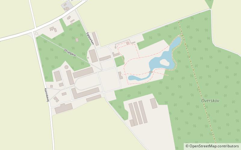
Orupgaard is a manor house located 6 kilometres east of Nykøbing and 3 kilometres north of Idestrup on the Danish island of Falster. With a history dating from the 13th century, Orupgaard today manages over 1,200 hectares of farmland and forest as well as an equestrian facility at Brændte Ege Avlsgaard. ()
Local name: OrupgårdCompleted: 1862 (164 years ago)Coordinates: 54°45'35"N, 11°57'10"E
Day trips
Orupgaard – popular in the area (distance from the attraction)
Nearby attractions include: Falsters Minder, Abbey Church, Golfklubben Storstrømmen, Væggerløse Kirke.


