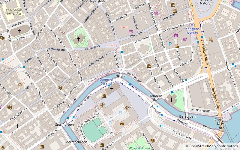
Højbro, Copenhagen
Map

Map

Facts and practical information
Højbro is a bridge in central Copenhagen, Denmark. It connects the small island Slotsholmen with its Christiansborg Palace to the rest of the city centre at the square Højbro Plads which is named after it. The current bridge at the site is from 1878 and was designed by Vilhelm Dahlerup. ()
Opened: 1878 (148 years ago)Coordinates: 55°40'39"N, 12°34'48"E
Address
Indre ByCopenhagen
ContactAdd
Social media
Add
Day trips
Højbro – popular in the area (distance from the attraction)
Nearby attractions include: Strøget, Købmagergade, Jazzhus Montmartre, Karel van Mander House.
Frequently Asked Questions (FAQ)
Which popular attractions are close to Højbro?
Nearby attractions include Agnete and the Merman, Copenhagen (1 min walk), Absalon, Copenhagen (1 min walk), Ploug House, Copenhagen (1 min walk), Højbro Plads, Copenhagen (2 min walk).
How to get to Højbro by public transport?
The nearest stations to Højbro:
Bus
Metro
Ferry
Light rail
Train
Bus
- Gammel Strand St., Christiansborg • Lines: 23, 2A (1 min walk)
- Børsen • Lines: 2A (5 min walk)
Metro
- Gammel Strand • Lines: M3, M4 (1 min walk)
- Kongens Nytorv • Lines: M1, M2, M3, M4 (7 min walk)
Ferry
- Knippelsbro • Lines: 991, 992 (10 min walk)
- Det Kongelige Bibliotek • Lines: 991, 992 (10 min walk)
Light rail
- Nørreport • Lines: A, B, Bx, C, E, H (14 min walk)
- Vesterport • Lines: A, B, Bx, C, E, H (18 min walk)
Train
- Nørreport (14 min walk)
- Copenhagen Central Station (18 min walk)

 Metro
Metro


