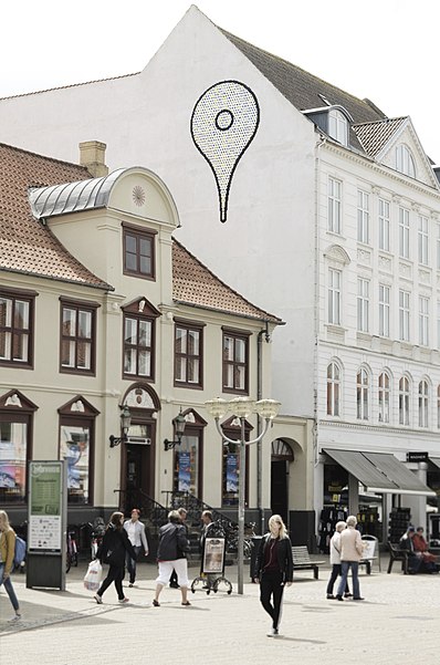
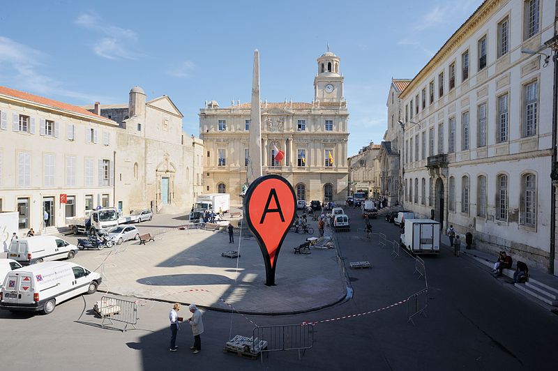
Google Maps pin, Horsens

Gallery (6)
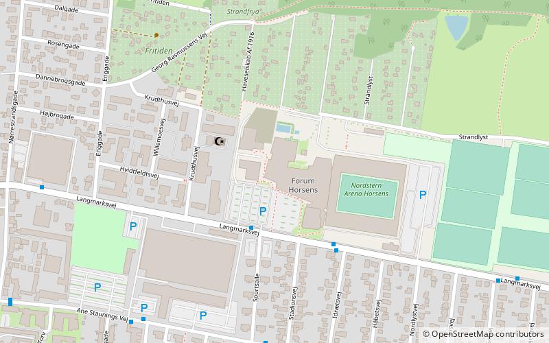
Map


Map

Gallery
Facts and practical information
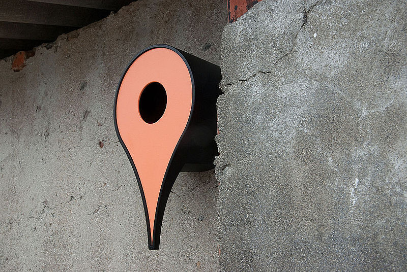
The Google Maps pin is the inverted-drop-shaped icon that marks locations in Google Maps. The pin is protected under a U.S. design patent as "teardrop-shaped marker icon including a shadow". Google has used the pin in various graphics, games, and promotional materials. ()
Coordinates: 55°51'42"N, 9°50'47"E
Address
Horsens
ContactAdd
Social media
Add
Getting there by public transportation
Public transportation stops near this location
- Bus
- Train
 Bus
Bus
- Calculate routeHorsens - Rådhuset/Ove Jensens Allé 3 min walk
- Calculate routeHorsens - Ny Teater 4 min walk
- Calculate routeHorsens - Svanes Torv 4 min walk
- Calculate routeHorsens 11 min walk
Day trips


Frequently Asked Questions (FAQ)
Which popular attractions are close to Google Maps pin?
Nearby attractions include Vor Frelser Kirke, Horsens (6 min walk), Horsens Bibliotek, Horsens (6 min walk), Klosterkirken, Horsens (10 min walk), Danmarks Industrimuseum, Horsens (15 min walk).
How to get to Google Maps pin by public transport?
The nearest stations to Google Maps pin:
Bus
Train
Bus
- Horsens - Rådhuset/Ove Jensens Allé • Lines: 12, 2, 3, 306 (3 min walk)
- Horsens - Ny Teater • Lines: 1, 12 (4 min walk)
Train
- Horsens (11 min walk)