Nyhavn, Copenhagen
Map
Gallery
Facts and practical information
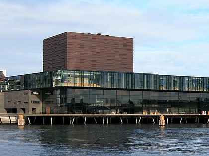
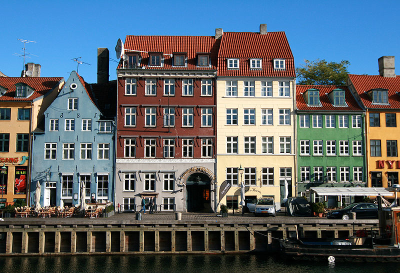
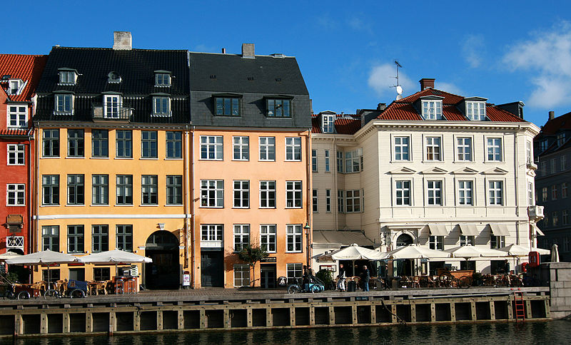
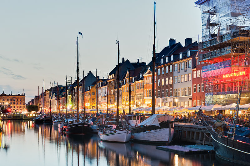
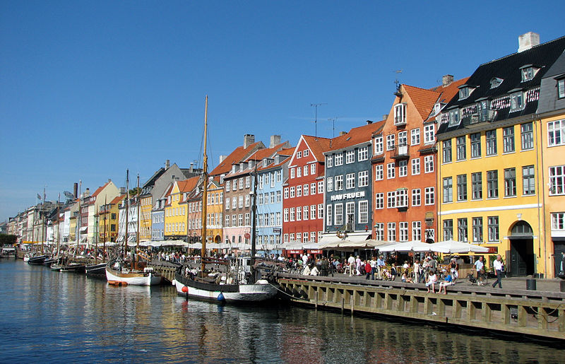
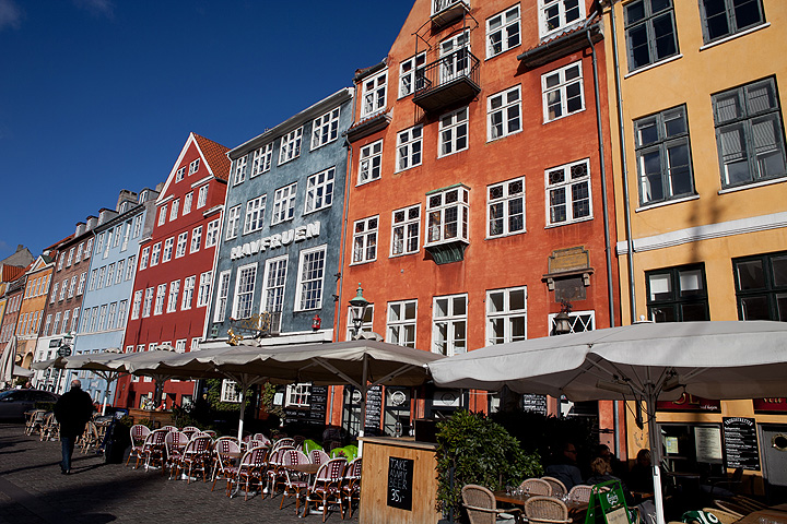
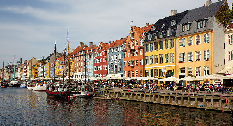
Nyhavn is a 17th-century waterfront, canal and entertainment district in Copenhagen, Denmark. Stretching from Kongens Nytorv to the harbour front just south of the Royal Playhouse, it is lined by brightly coloured 17th and early 18th century townhouses and bars, cafes and restaurants. The canal harbours many historical wooden ships. ()
Day trips
Nyhavn – popular in the area (distance from the attraction)
Nearby attractions include: Strøget, Købmagergade, Jazzhus Montmartre, Karel van Mander House.
Frequently Asked Questions (FAQ)
Which popular attractions are close to Nyhavn?
Nearby attractions include Lightvessel Gedser Rev, Copenhagen (2 min walk), Nyhavn, Copenhagen (2 min walk), Danish National Art Library, Copenhagen (3 min walk), Lille Strandstræde 18, Copenhagen (3 min walk).
How to get to Nyhavn by public transport?
The nearest stations to Nyhavn:
Ferry
Bus
Metro
Train
Light rail
Ferry
- Nyhavn • Lines: 991, 992 (4 min walk)
- Operaen • Lines: 991, 992 (9 min walk)
Bus
- Sankt Annæ Plads, Skuespilhuset • Lines: 26 (5 min walk)
- Kongens Nytorv St. • Lines: 23 (6 min walk)
Metro
- Kongens Nytorv • Lines: M1, M2, M3, M4 (6 min walk)
- Marmorkirken • Lines: M3, M4 (10 min walk)
Train
- Nørreport (20 min walk)
- Østerport (24 min walk)
Light rail
- Nørreport • Lines: A, B, Bx, C, E, H (20 min walk)
- Østerport • Lines: A, B, Bx, C, E, H (24 min walk)



 Metro
Metro


