Holmens Kanal, Copenhagen
Map
Gallery

Facts and practical information
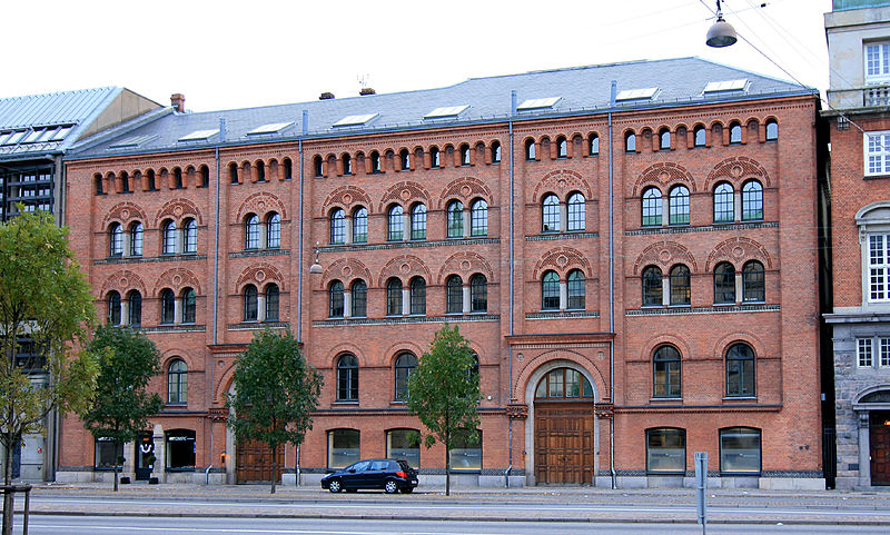
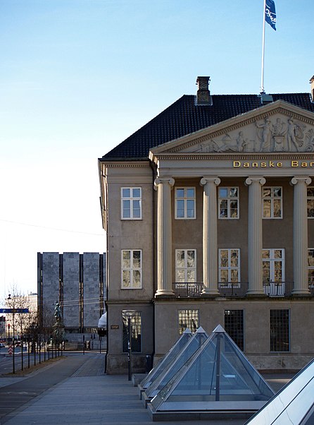
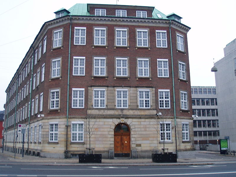
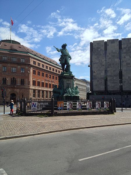
Holmens Kanal is a short street in central Copenhagen. Part of the main thoroughfare of the city centre, it extends from Kongens Nytorv for one block to a junction with a statue of Niels Juel where it turns right towards Holmens Bro while the through traffic continues straight along Niels Juels Gade. The street was originally a canal, hence the name, but was filled in the 1860s. Today it is dominated by bank and government buildings. ()
Day trips
Holmens Kanal – popular in the area (distance from the attraction)
Nearby attractions include: Købmagergade, Jazzhus Montmartre, Karel van Mander House, Charlottenborg Palace.
Frequently Asked Questions (FAQ)
Which popular attractions are close to Holmens Kanal?
Nearby attractions include Statue of Niels Juel, Copenhagen (1 min walk), M. E. Grøn & Søn, Copenhagen (1 min walk), Erichsen Mansion, Copenhagen (2 min walk), Asylgade, Copenhagen (2 min walk).
How to get to Holmens Kanal by public transport?
The nearest stations to Holmens Kanal:
Bus
Metro
Ferry
Train
Light rail
Bus
- Holmens Kirke • Lines: 23 (2 min walk)
- Kongens Nytorv St. • Lines: 23 (3 min walk)
Metro
- Kongens Nytorv • Lines: M1, M2, M3, M4 (4 min walk)
- Gammel Strand • Lines: M3, M4 (7 min walk)
Ferry
- Knippelsbro • Lines: 991, 992 (7 min walk)
- Nyhavn • Lines: 991, 992 (9 min walk)
Train
- Nørreport (17 min walk)
- Copenhagen Central Station (23 min walk)
Light rail
- Nørreport • Lines: A, B, Bx, C, E, H (18 min walk)
- Copenhagen Central Station • Lines: A, B, Bx, C, E, H (24 min walk)


 Metro
Metro


