Jarmers Tower, Copenhagen
Map

Map

Facts and practical information
Jarmer's Tower is an old ruined tower in Copenhagen, Denmark. It was once part of the Copenhagen moat. Jarmers Tower represents the remains of the original eleven towers which were once joined together as a part of the city’s medieval fortification. ()
Address
Indre By (Nyrops)Copenhagen
ContactAdd
Social media
Add
Day trips
Jarmers Tower – popular in the area (distance from the attraction)
Nearby attractions include: Tivoli, Strøget, Glass Hall, Pantomimeteatret.
Frequently Asked Questions (FAQ)
Which popular attractions are close to Jarmers Tower?
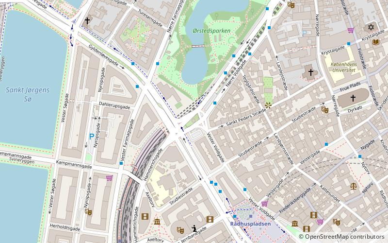
Nearby attractions include Jarmers Plads, Copenhagen (1 min walk), Studiestræde, Copenhagen (4 min walk), Sankt Peders Stræde, Copenhagen (4 min walk), Larsbjørnsstræde, Copenhagen (4 min walk).
How to get to Jarmers Tower by public transport?
The nearest stations to Jarmers Tower:
Bus
Metro
Light rail
Train
Ferry
Bus
- Teglgårdstræde • Lines: 5C (4 min walk)
- Vester Farimagsgade • Lines: 2A (4 min walk)
Metro
- Rådhuspladsen • Lines: M3, M4 (5 min walk)
- Nørreport • Lines: M1, M2 (11 min walk)
Light rail
- Vesterport • Lines: A, B, Bx, C, E, H (6 min walk)
- Nørreport • Lines: A, B, Bx, C, E, H (11 min walk)
Train
- Copenhagen Central Station (12 min walk)
- Nørreport (12 min walk)
Ferry
- Det Kongelige Bibliotek • Lines: 991, 992 (19 min walk)
- Knippelsbro • Lines: 991, 992 (23 min walk)

 Metro
Metro


