Storstrøm Bridge

Gallery (2)
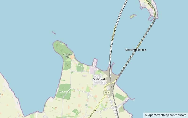
Map
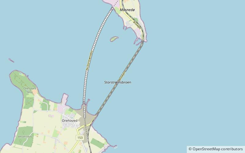
Map
Gallery
Facts and practical information
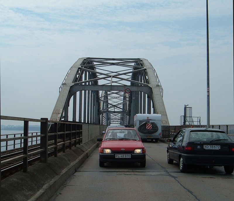
The Storstrøm Bridge is a road and railway arch bridge that crosses Storstrømmen between the islands of Falster and Masnedø in Denmark. ()
Local name: Storstrømsbroen Opened: 26 September 1937 (88 years ago)Length: 1.99 miWidth: 30 ftCoordinates: 54°57'58"N, 11°53'5"E
Location
Sjælland
ContactAdd
Social media
Add
Day trips