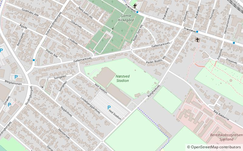
Næstved Stadium, Næstved
Map
Facts and practical information
Næstved Stadium is a multi-use stadium in Næstved, Denmark. It is known as ProfaGroup Park for sponsorship reasons. It is currently only used for football matches and is the home stadium of Næstved BK. The stadium was earlier used for speedway races as well, often with crowds of around 20,000 or more. ()
Getting there by public transportation
Public transportation stops near this location
- Bus
- Train
 Bus
Bus
- Calculate routeNæstved 15 min walk
- Calculate routeBanegårdspladsen, afsætning 16 min walk
Day trips


Frequently Asked Questions (FAQ)
Which popular attractions are close to Næstved Stadium?
Nearby attractions include Næstved Arena, Næstved (2 min walk), St Martin's Church, Næstved (13 min walk), Old Town Hall, Næstved (15 min walk), St. Peter's Church, Næstved (15 min walk).
How to get to Næstved Stadium by public transport?
The nearest stations to Næstved Stadium:
Train
Bus
Train
- Næstved (15 min walk)
Bus
- Banegårdspladsen, afsætning (16 min walk)