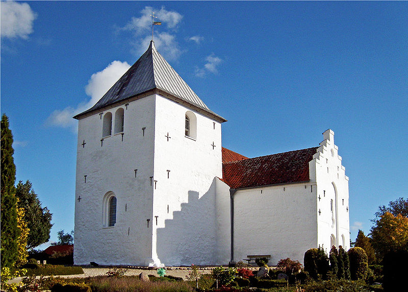
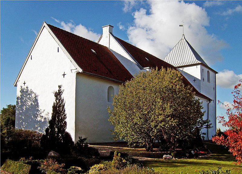
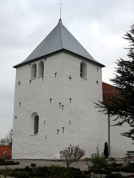
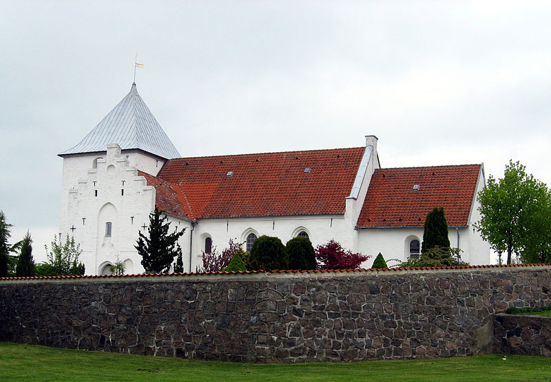
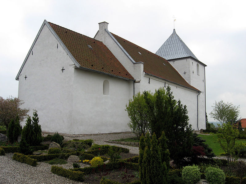
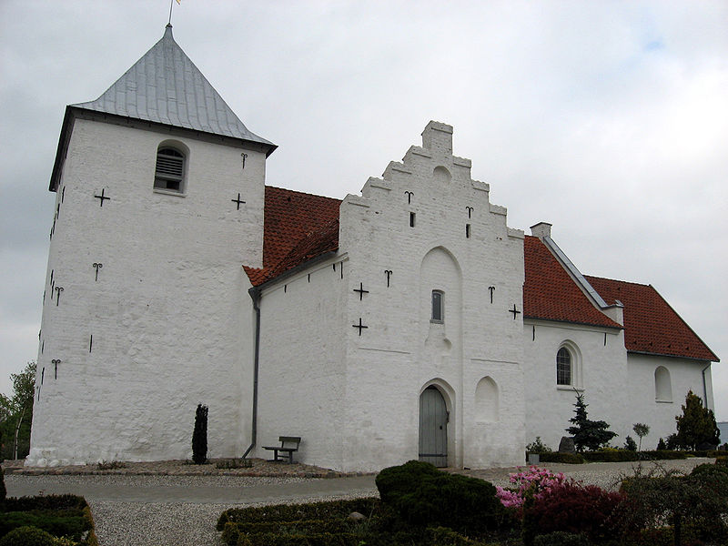
Kolt Church, Aarhus

Gallery (8)
Map

Map

Gallery
Facts and practical information
Local name: Kolt KirkeCompleted: 1100 (926 years ago)Coordinates: 56°6'33"N, 10°4'15"E
Getting there by public transportation
Public transportation stops near this location
- Bus
 Bus
Bus
- Calculate routeKunnerupvej 4 min walk
- Calculate routePilegårdsvej 6 min walk
- Calculate routeKolt 6 min walk
- Calculate routeTunnelen 8 min walk
Day trips


Frequently Asked Questions (FAQ)
How to get to Kolt Church by public transport?
The nearest stations to Kolt Church:
Bus
Bus
- Kunnerupvej • Lines: 1A (4 min walk)
- Pilegårdsvej • Lines: 1A (6 min walk)