Troldborg Ring

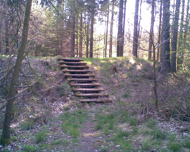
Gallery (2)
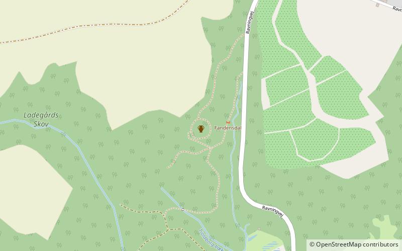
Map
Map
Gallery
Facts and practical information
The Troldborg Ring is an Iron Age fortification in Vejle Municipality in Denmark, 13 km west of the city of Vejle. It is located at a natural spring on a high point overlooking the Vejle River Valley. The surrounding area is a steep ravine known as the Devil's Valley. The site consists of a raised area of about 1,700 m2 surrounded by a circular rampart. One side is protected by a steep drop of 70 m to the valley floor, while the other side features a 0.5-metre-deep, 2.5-metre-wide moat. ()
Location
Syddanmark
ContactAdd
Social media
Add
Day trips


