Magstræde, Copenhagen
Map
Gallery

Facts and practical information
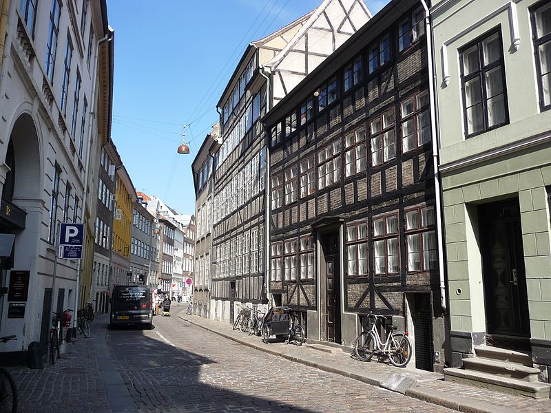
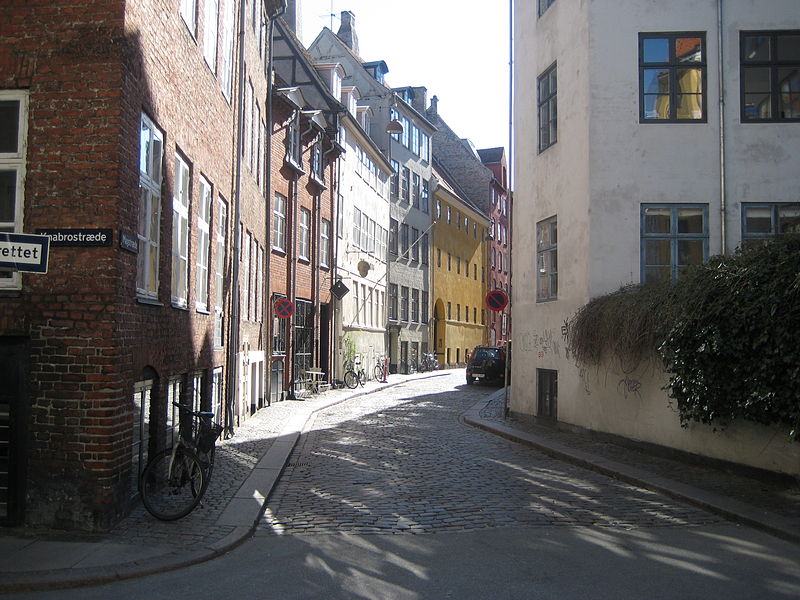
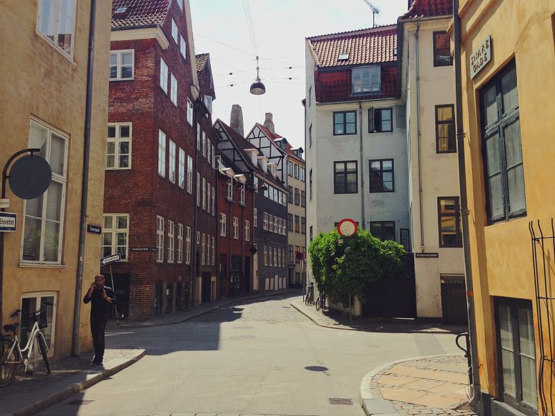
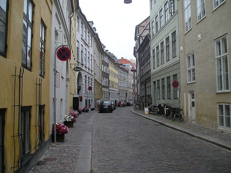
Snaregade and Magstræde are two of the oldest streets in the Old Town of Copenhagen, Denmark, linking Gammel Strand at their eastern end with Rådhusstræde to the west. Snaregade extends from the small square at the Gammel Strand metro station to Knabrostræde where it turns into Magstræde. The streets are among the few streets in the Old Town of Copenhagen which still feature their original cobbling. Magstræde is associated with Huset i Magstræde, now officially referred to as Huset KBH, a culture house. ()
Coordinates: 55°40'35"N, 12°34'32"E
Address
Indre By (Strøget)Copenhagen
ContactAdd
Social media
Add
Day trips
Magstræde – popular in the area (distance from the attraction)
Nearby attractions include: Tivoli, Strøget, Købmagergade, Karel van Mander House.
Frequently Asked Questions (FAQ)
Which popular attractions are close to Magstræde?
Nearby attractions include Huset KBH, Copenhagen (1 min walk), Knabrostræde, Copenhagen (1 min walk), Stormbro, Copenhagen (2 min walk), Vandkunsten, Copenhagen (2 min walk).
How to get to Magstræde by public transport?
The nearest stations to Magstræde:
Bus
Metro
Ferry
Train
Light rail
Bus
- Stormbroen, Nationalmuseet • Lines: 23, 2A (2 min walk)
- Gammel Strand St., Christiansborg • Lines: 23, 2A (5 min walk)
Metro
- Gammel Strand • Lines: M3, M4 (4 min walk)
- Rådhuspladsen • Lines: M3, M4 (8 min walk)
Ferry
- Det Kongelige Bibliotek • Lines: 991, 992 (9 min walk)
- Knippelsbro • Lines: 991, 992 (13 min walk)
Train
- Copenhagen Central Station (13 min walk)
- Nørreport (14 min walk)
Light rail
- Vesterport • Lines: A, B, Bx, C, E, H (13 min walk)
- Nørreport • Lines: A, B, Bx, C, E, H (13 min walk)


 Metro
Metro


