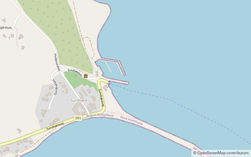
Sundsøre Lystbådehavn

Gallery (1)
Map
Map
Facts and practical information
Sundsøre Lystbådehavn (address: Sundsørevej 2B) is a place located in Denmark and belongs to the category of marina, sailing.
It is situated at an altitude of 3 feet, and its geographical coordinates are 56°42'33"N latitude and 9°10'32"E longitude.
Among other places and attractions worth visiting in the area are: Hessel (museum, 42 min walk), Louns KirkeHvalpsund (body of water, 62 min walk).
Coordinates: 56°42'33"N, 9°10'32"E
Day trips

