Knebel Kirke, Knebel

Gallery (1)
Map
Map
Facts and practical information
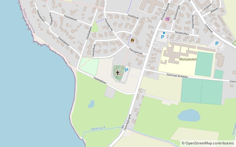
Knebel Kirke (address: Knebel Bygade 72) is a place located in Knebel (Midtjylland region) and belongs to the category of church.
It is situated at an altitude of 30 feet, and its geographical coordinates are 56°12'38"N latitude and 10°28'60"E longitude.
Among other places and attractions worth visiting in the area are: Molbostøtten (memorial, 13 min walk), Poskær Stenhus, Mols Bjerge National Park (park, 23 min walk), Trehøje Mols, Mols Bjerge National Park (park, 30 min walk).
Coordinates: 56°12'38"N, 10°28'60"E
Day trips


Frequently Asked Questions (FAQ)
Which popular attractions are close to Knebel Kirke?
Nearby attractions include Molbostøtten, Knebel (13 min walk), Poskær Stenhus, Mols Bjerge National Park (23 min walk).