Broholm Kirke, Tommerup

Gallery (1)
Map
Map
Facts and practical information
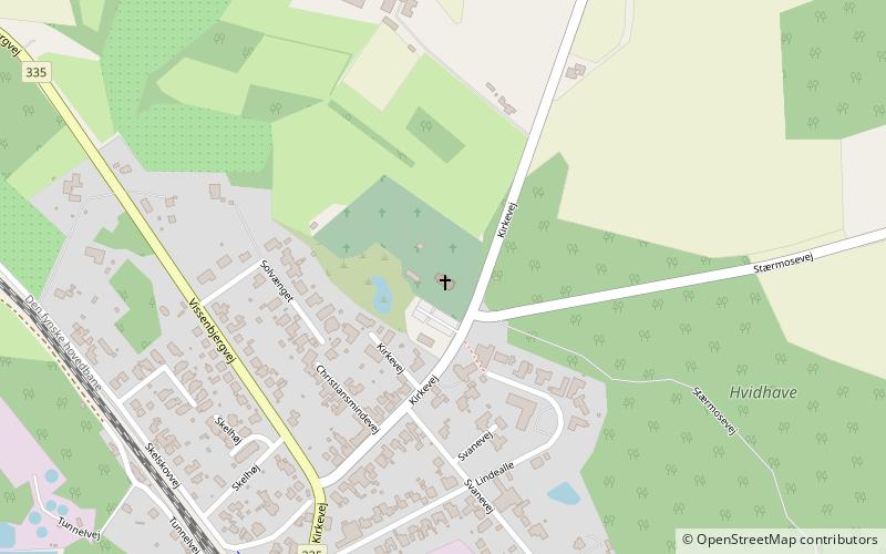
Broholm Kirke (address: Kirkevej 28) is a place located in Tommerup (Syddanmark region) and belongs to the category of church.
It is situated at an altitude of 217 feet, and its geographical coordinates are 55°21'16"N latitude and 10°11'3"E longitude.
Among other places and attractions worth visiting in the area are: Krengerup, Glamsbjerg (forts and castles, 105 min walk), Vestfyns Golfklub, Glamsbjerg (golf, 129 min walk), Vedtofte Kirke, Glamsbjerg (church, 158 min walk).
Coordinates: 55°21'16"N, 10°11'3"E
Address
Kirkevej 28Tommerup 5690
ContactAdd
Social media
Add
Day trips


