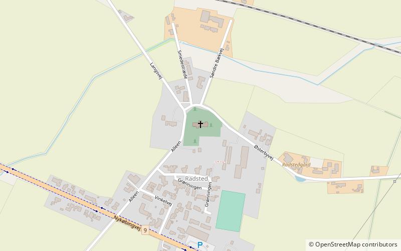
Radsted Kirke, Lolland

Gallery (1)
Map
Map
Facts and practical information
Radsted Kirke (address: Alleen 10A) is a place located in Lolland (Sjælland region) and belongs to the category of church.
It is situated at an altitude of 33 feet, and its geographical coordinates are 54°47'24"N latitude and 11°41'19"E longitude.
Among other places and attractions worth visiting in the area are: Krenkerup, Sakskøbing (manor house, 30 min walk), Sakskøbing Kirke, Sakskøbing (church, 58 min walk), Berritzgaard (manor house, 61 min walk).
Coordinates: 54°47'24"N, 11°41'19"E
Day trips