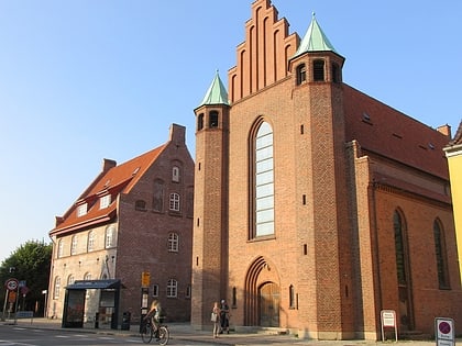
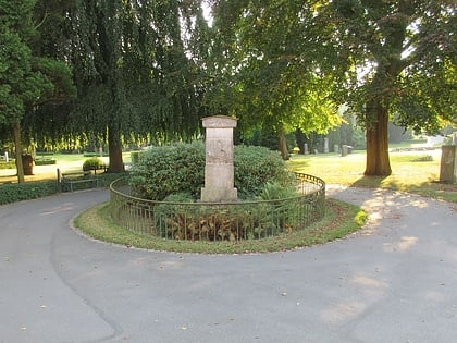
Skotterup, Elsinore
Map
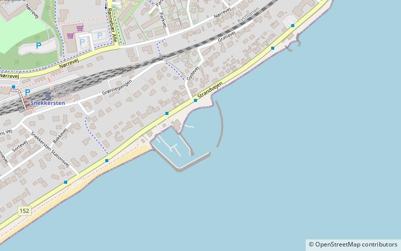
Map

Facts and practical information
Skotterup is a former village and current neighbourhood located in the southern part of Helsingør, Denmark. It is located between Snekkersten to the north and Espergærde to the south and belongs to Snekkersten postal district. ()
Coordinates: 56°0'31"N, 12°35'23"E
Address
Elsinore
ContactAdd
Social media
Add
Day trips
Skotterup – popular in the area (distance from the attraction)
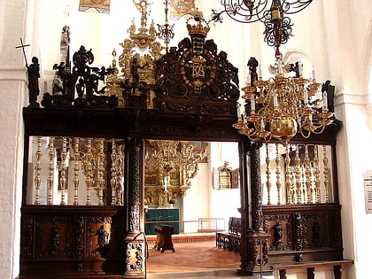
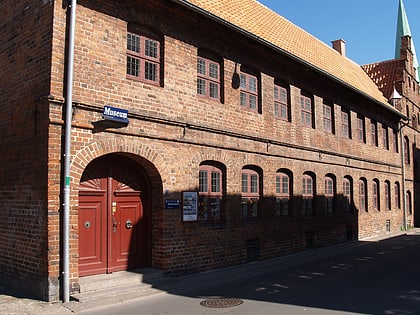
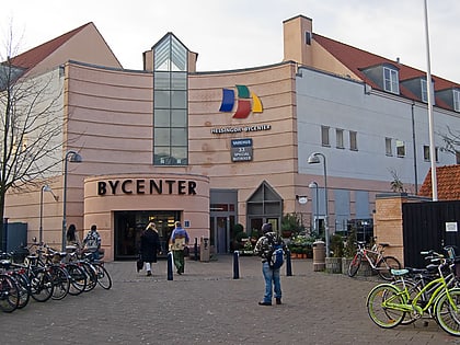
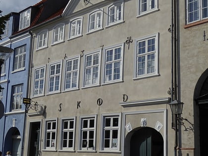
Nearby attractions include: Helsingør Domkirke, Helsingør Bymuseum, Helsingør Bycenter, Skibsklarerergaarden.
Frequently Asked Questions (FAQ)
How to get to Skotterup by public transport?
The nearest stations to Skotterup:
Bus
Train
Bus
- Snekkersten Havn • Lines: 388 (2 min walk)
- Kystens Perle • Lines: 388 (6 min walk)
Train
- Snekkersten (7 min walk)

