Filskov Kirke, Grindsted

Gallery (1)
Map
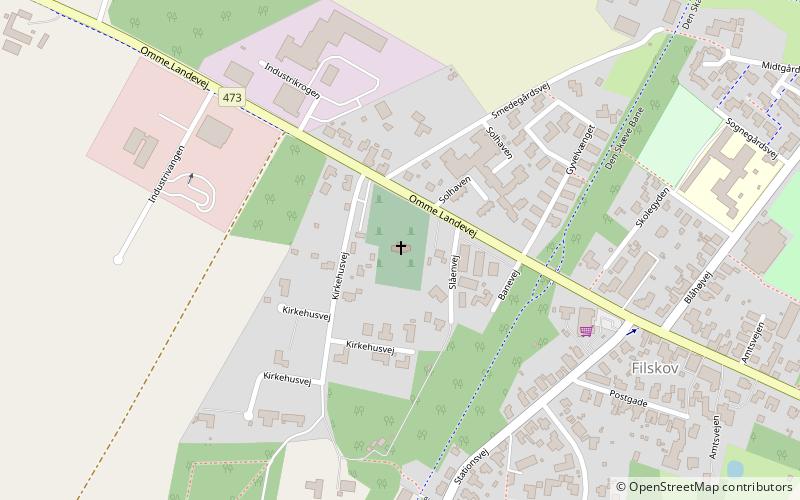
Map
Facts and practical information
Filskov Kirke is a place located in Grindsted (Syddanmark region) and belongs to the category of church.
It is situated at an altitude of 174 feet, and its geographical coordinates are 55°48'49"N latitude and 9°1'26"E longitude.
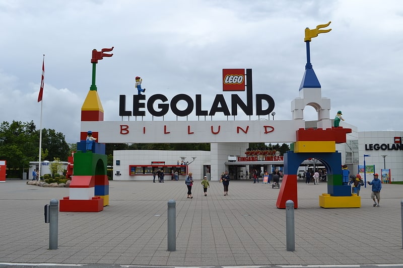
Among other places and attractions worth visiting in the area are: Grindsted Municipality (specialty museum, 137 min walk), Polar X-plorer, Billund (amusement, 166 min walk), Legoland, Billund (theme park, 171 min walk).
Coordinates: 55°48'49"N, 9°1'26"E
Address
Grindsted
ContactAdd
Social media
Add
Day trips