Ommel Kirke, Marstal

Gallery (1)
Map
Map
Facts and practical information
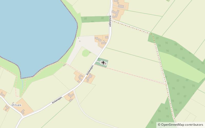
Ommel Kirke (address: Kirkevejen 63) is a place located in Marstal (Syddanmark region) and belongs to the category of church.
It is situated at an altitude of 3 feet, and its geographical coordinates are 54°51'53"N latitude and 10°29'20"E longitude.
Among other places and attractions worth visiting in the area are: Marstal Kirke, Ærø (sacred and religious sites, 34 min walk), Marstal Søfartsmuseum (museum, 38 min walk), Ærøskøbing Kirke, Ærøskøbing (church, 88 min walk).
Coordinates: 54°51'53"N, 10°29'20"E
Day trips


