Sophienberg, Øresund Coast
Map

Map

Facts and practical information
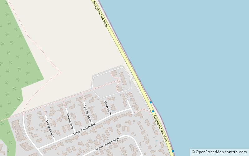
Sophienberg is a former royal summer retreat located on the Coast Road in Rungsted, Hørsholm Municipality, some 20 km north of central Copenhagen, Denmark. It is now operated as a venue for meetings and smaller conferences. ()
Local name: Sophienberg SlotCoordinates: 55°53'58"N, 12°31'58"E
Address
Rungsted strandvej 219Øresund Coast 2910
ContactAdd
Social media
Add
Day trips
Sophienberg – popular in the area (distance from the attraction)
Nearby attractions include: Rungstedlund, Nivaagaard Teglværks Ringovn, Høsterkøb Kirke, Nivå Strand.
Frequently Asked Questions (FAQ)
How to get to Sophienberg by public transport?
The nearest stations to Sophienberg:
Bus
Train
Bus
- Lange Müllers Allé • Lines: 388 (3 min walk)
- Bukkeballevej • Lines: 388 (7 min walk)
Train
- Rungsted Kyst (31 min walk)
- Kokkedal (31 min walk)


