Dyssebroen, Copenhagen
Map

Gallery

Facts and practical information
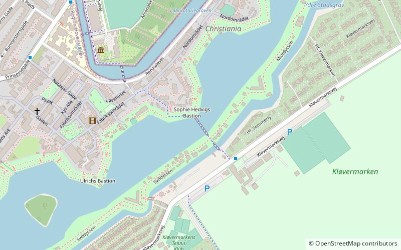
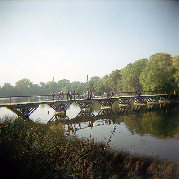
Dyssebroen is a pedestrian and cycle bridge located in the area known as Freetown Christiania in Copenhagen, Denmark. It connects the Christianshavn Side main portion of the community to its more 'rural' Amager Side backdrop across Stadsgraven, the former moat of the Christianshavn Rampart which formed part of the Bastioned Fortification Ring which used to guard the city. ()
Completed: 1998 (28 years ago)Width: 7 ftCoordinates: 55°40'24"N, 12°36'24"E
Address
ChristianshavnCopenhagen
ContactAdd
Social media
Add
Day trips
Dyssebroen – popular in the area (distance from the attraction)
Nearby attractions include: Church of Our Saviour, Copenhagen Opera House, Charlottenborg Palace, Amager Centret.
Frequently Asked Questions (FAQ)
Which popular attractions are close to Dyssebroen?
Nearby attractions include Christianshavns Enveloppe, Copenhagen (3 min walk), Christianshavns Vold, Copenhagen (4 min walk), Copenhagen/Christiania, Copenhagen (7 min walk), Kløvermarken, Copenhagen (8 min walk).
How to get to Dyssebroen by public transport?
The nearest stations to Dyssebroen:
Bus
Metro
Ferry
Bus
- Bodenhoffs Plads • Lines: 2A (8 min walk)
- Arsenaløen • Lines: 2A (9 min walk)
Metro
- Christianshavn • Lines: M1, M2 (16 min walk)
- Amagerbro • Lines: M2 (19 min walk)
Ferry
- Nyhavn • Lines: 991, 992 (16 min walk)
- Operaen • Lines: 991, 992 (17 min walk)

 Metro
Metro


