Haarby Kirke, Haarby

Gallery (1)
Map
Map
Facts and practical information
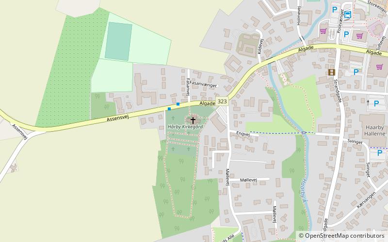
Haarby Kirke (address: Algade 89B) is a place located in Haarby (Syddanmark region) and belongs to the category of church.
It is situated at an altitude of 59 feet, and its geographical coordinates are 55°13'18"N latitude and 10°6'53"E longitude.
Among other places and attractions worth visiting in the area are: Dreslette kirke (church, 79 min walk), De Japanske Haver (cafe, 86 min walk), Vestfyns Golfklub, Glamsbjerg (golf, 128 min walk).
Coordinates: 55°13'18"N, 10°6'53"E
Day trips


