Gladsaxe Municipality, Copenhagen
Map
Facts and practical information
Gladsaxe Kommune is a municipality near Copenhagen in Region Hovedstaden on the island of Zealand in eastern Denmark. The municipality covers an area of 25 km2, and has a total population of 69,681. Its mayor is Trine Græse, a member of the Social Democrats political party. ()
Getting there by public transportation
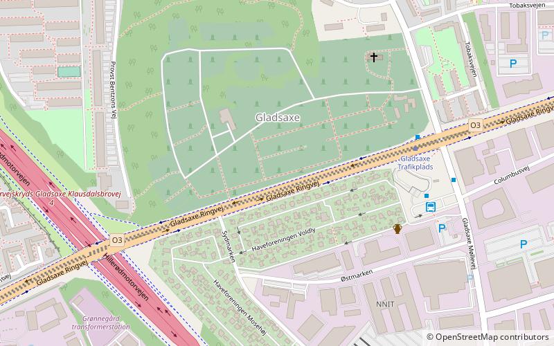
Public transportation stops near this location
- Bus
- Light rail
 Bus
Bus
- Calculate routeGladsaxe Trafikplads 5 min walk
- Calculate routeSydmarken 9 min walk
- Calculate routeDynamovej 11 min walk
- Calculate routeMørkhøj 15 min walk
- Calculate routeBuddinge 30 min walk
Maps Metro
Metro
MetroDay trips


Frequently Asked Questions (FAQ)
How to get to Gladsaxe Municipality by public transport?
The nearest stations to Gladsaxe Municipality:
Bus
Light rail
Bus
- Gladsaxe Trafikplads • Lines: 250S, 300S (5 min walk)
- Sydmarken • Lines: 250S (9 min walk)
Light rail
- Buddinge • Lines: B, Bx (30 min walk)