Hornbæk Kirke, Hornbæk

Gallery (1)
Map
Map
Facts and practical information
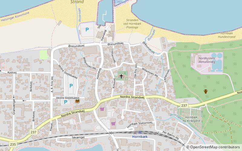
Hornbæk Kirke (address: Kirkevej 6) is a place located in Hornbæk (Hovedstaden region) and belongs to the category of temple, church.
It is situated at an altitude of 20 feet, and its geographical coordinates are 56°5'29"N latitude and 12°27'30"E longitude.
Among other places and attractions worth visiting in the area are: Hornbæk Bibliotek (library, 4 min walk), Rudolph Tegner Museum, North Coast (specialty museum, 55 min walk), Dronningmølle (town, 72 min walk).
Coordinates: 56°5'29"N, 12°27'30"E
Day trips


