Øland Golfklub, North Jutlandic Island

Gallery (1)
Map
Map
Facts and practical information
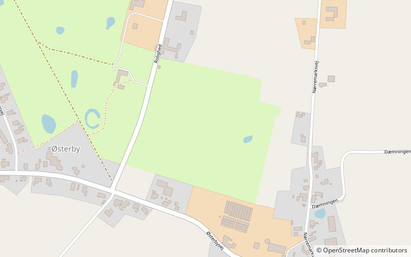
Øland Golfklub (address: Rolighed 5) is a place located in North Jutlandic Island (Nordjylland region) and belongs to the category of golf.
It is situated at an altitude of 7 feet, and its geographical coordinates are 57°3'39"N latitude and 9°36'20"E longitude.
Among other places and attractions worth visiting in the area are: Oxholm Kirke, Brovst (church, 31 min walk), Gjøl (town, 110 min walk), Torslev Kirke, Brovst (church, 119 min walk).
Coordinates: 57°3'39"N, 9°36'20"E
Day trips


