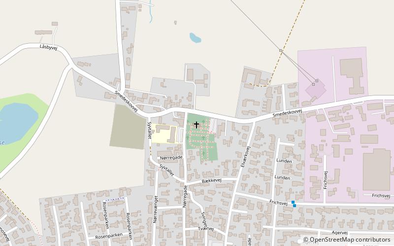
Galten Kirke

Gallery (1)
Map
Map
Facts and practical information
Galten Kirke (address: Nørregade 44) is a place located in Denmark and belongs to the category of church.
It is situated at an altitude of 121 feet, and its geographical coordinates are 56°9'32"N latitude and 9°54'15"E longitude.
Among other places and attractions worth visiting in the area are: Lillering Forest (nature, 80 min walk), Veng Abbey (monastery, 87 min walk), SophiendalSkanderborg (forts and castles, 87 min walk).
Coordinates: 56°9'32"N, 9°54'15"E
Day trips


