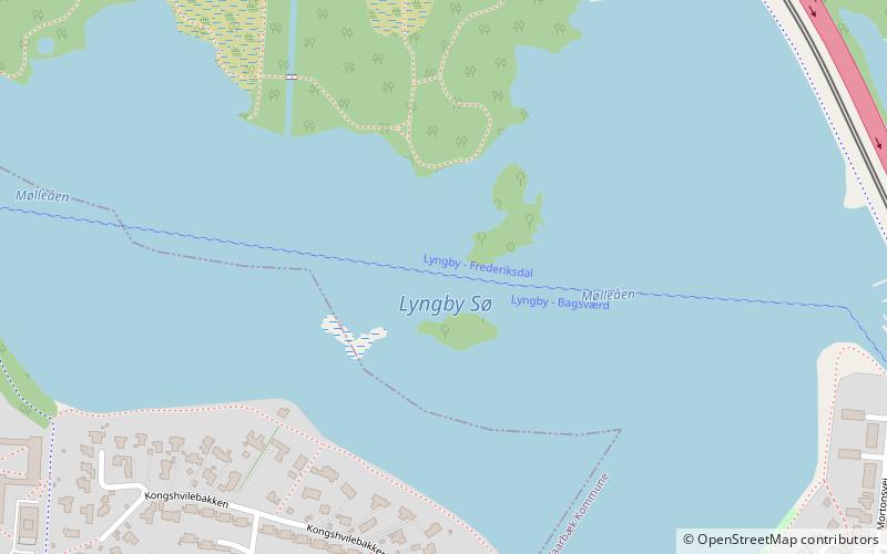
Lyngby Lake, Copenhagen
Map

Map

Facts and practical information
Lyngby Lake is a lake located on the border between Lyngby-Taarbæk and Gladsaxe municipalities in the northern suburbs of Copenhagen, Denmark. It is the smallest of the four lakes that are located on Mølleåen. At the east end of the lake is an embankment with a lake promenade, S-train line and Lyngby bypass. A small portion of the lake, known as Lille Lyngby Sø is located on the east side of the embankment. ()
Local name: Lyngby Sø Area: 141.1 acres (0.2205 mi²)Maximum depth: 11 ftElevation: 62 ft a.s.l.Coordinates: 55°46'28"N, 12°29'3"E
Address
Northern SuburbsCopenhagen
ContactAdd
Social media
Add
Day trips
Lyngby Lake – popular in the area (distance from the attraction)
Nearby attractions include: Frilandsmuseet, Lyngby Stadion, Karlstrup Windmill, Sorgenfri Palace.
Frequently Asked Questions (FAQ)
Which popular attractions are close to Lyngby Lake?
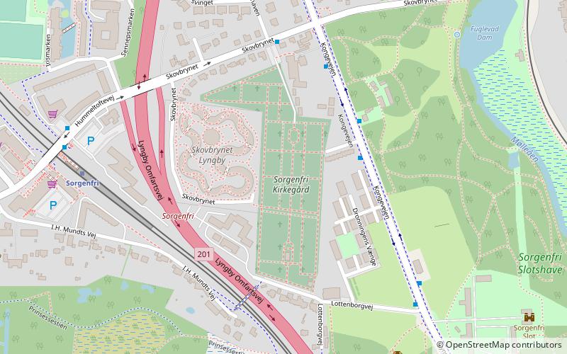
Nearby attractions include Frieboeshvile, Copenhagen (13 min walk), Sorgenfri Cemetery, Copenhagen (14 min walk), Lyngby Søndre Mølle, Copenhagen (15 min walk), Sorgenfri Palace, Copenhagen (15 min walk).
How to get to Lyngby Lake by public transport?
The nearest stations to Lyngby Lake:
Light rail
Bus
Light rail
- Sorgenfri • Lines: A, E (13 min walk)
- Lyngby Lokal • Lines: 910 (22 min walk)
Bus
- Lyngby Kirke • Lines: 194 (17 min walk)
- Engelsborgvej • Lines: 191, 192 (19 min walk)

 Metro
Metro


