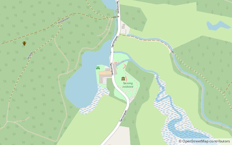
Tørning Mølle, Vojens

Gallery (1)
Map
Map
Facts and practical information
Tørning Mølle (address: Tørningvej 6) is a place located in Vojens (Syddanmark region) and belongs to the category of rest area, museum.
It is situated at an altitude of 75 feet, and its geographical coordinates are 55°14'16"N latitude and 9°22'25"E longitude.
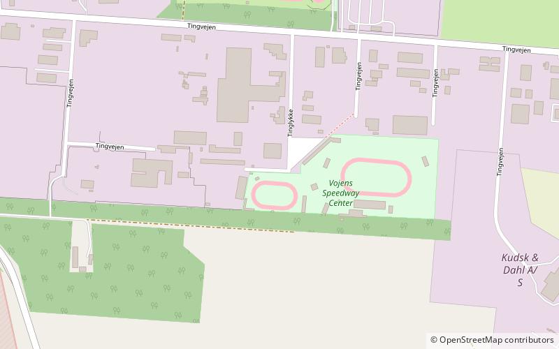
Among other places and attractions worth visiting in the area are: Vojens Speedway Center (sport venue, 95 min walk), Haderslev Cathedral, Haderslev (church, 117 min walk), Teatret Møllen, Haderslev (concerts and shows, 118 min walk).
Coordinates: 55°14'16"N, 9°22'25"E
Day trips