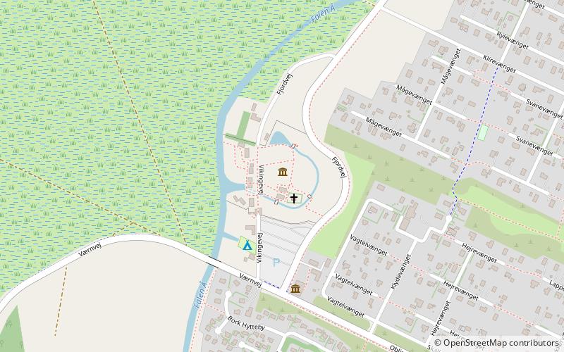
Bork Vikingehavn, Hemmet

Gallery (1)
Map
Map
Facts and practical information
Bork Vikingehavn (address: Vikingevej 7) is a place located in Hemmet (Midtjylland region) and belongs to the category of history museum, theme park, historical and heritage tours.
It is situated at an altitude of 3 feet, and its geographical coordinates are 55°50'14"N latitude and 8°16'1"E longitude.
Among other places and attractions worth visiting in the area are: Nymindegab Museum, Nørre Nebel (specialty museum, 78 min walk), Nørre Nebel Kirke, Nørre Nebel (church, 110 min walk).
Elevation: 3 ft a.s.l.Coordinates: 55°50'14"N, 8°16'1"E
Day trips

